Good morning from Ashland

Ashland morning (May 2013)

| The above will search Ashland Daily Photo. |
Ashland morning (May 2013)
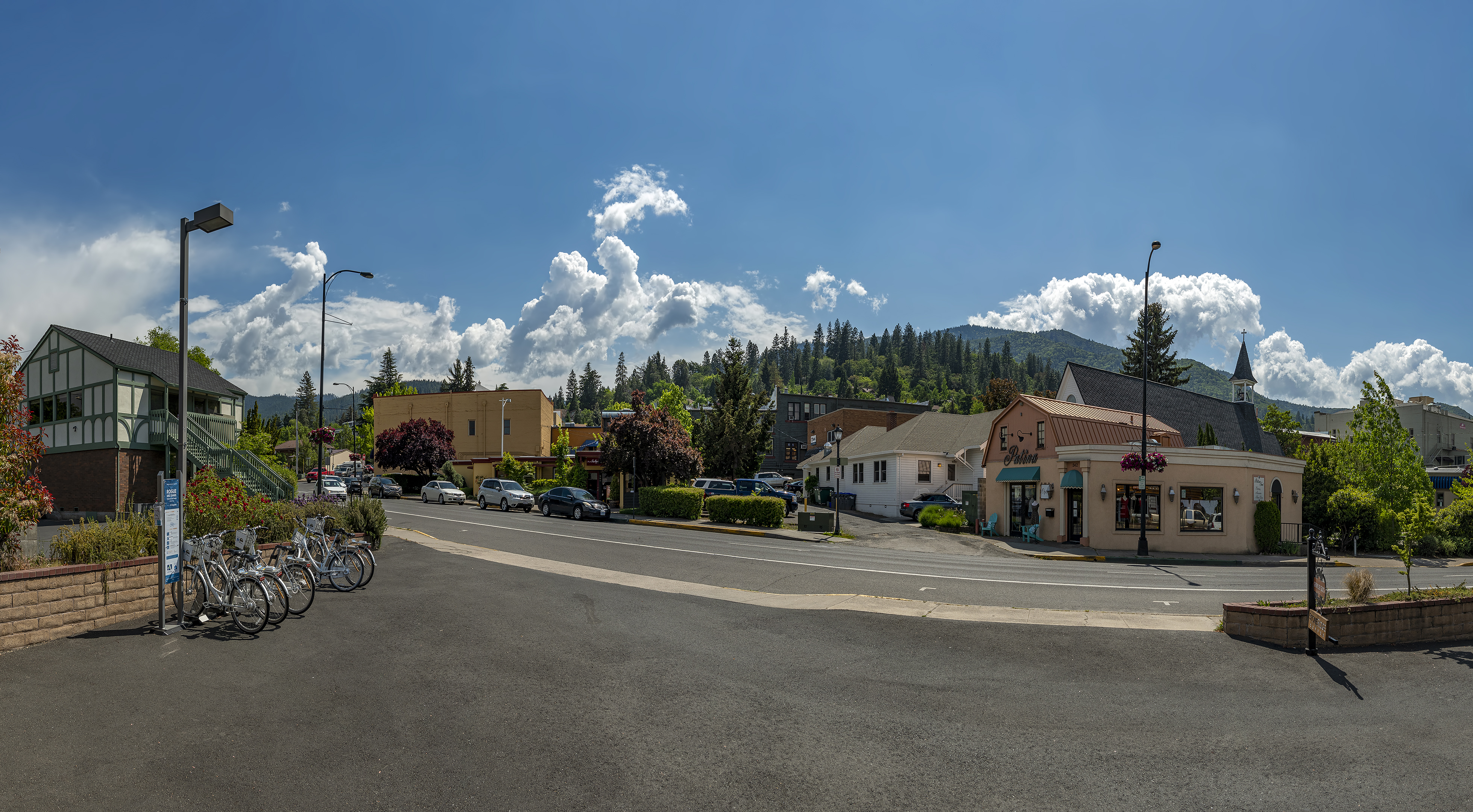
View from Growler Guys (Ashland, Oregon – May 2018)
@thegrowlerguys @tggashland
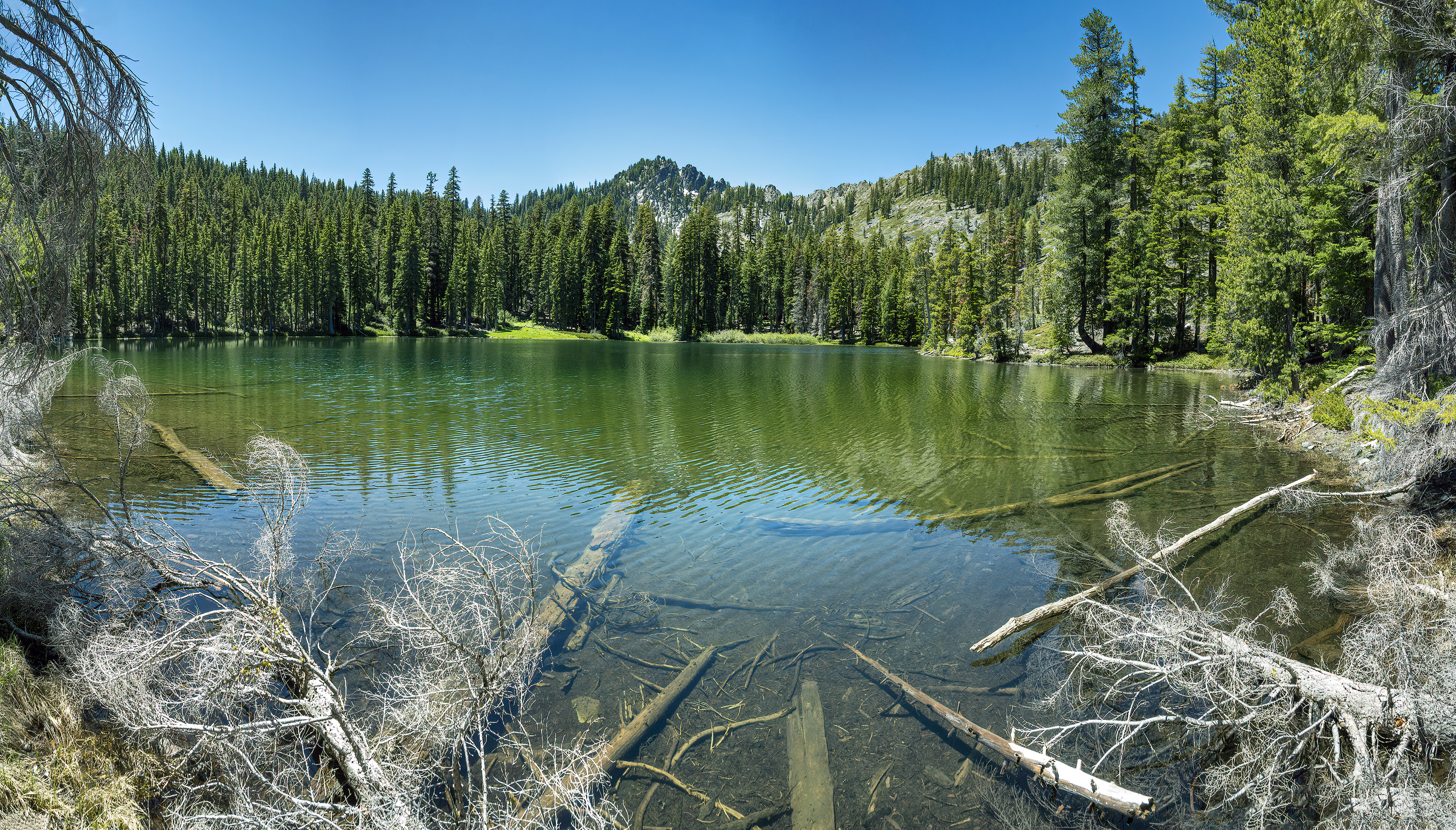
Upper South Fork Lake (Trinity Alps, California)

Takelma Gorge
Today’s photo comes from yesterday’s hike along the Rogue River. This place is just an hour and 20 minutes from my home, but it took me 21 years to find it.
October is obviously the best time for this trail. Park at Woodruff Bridge and head south on the Upper Rogue River Trail.

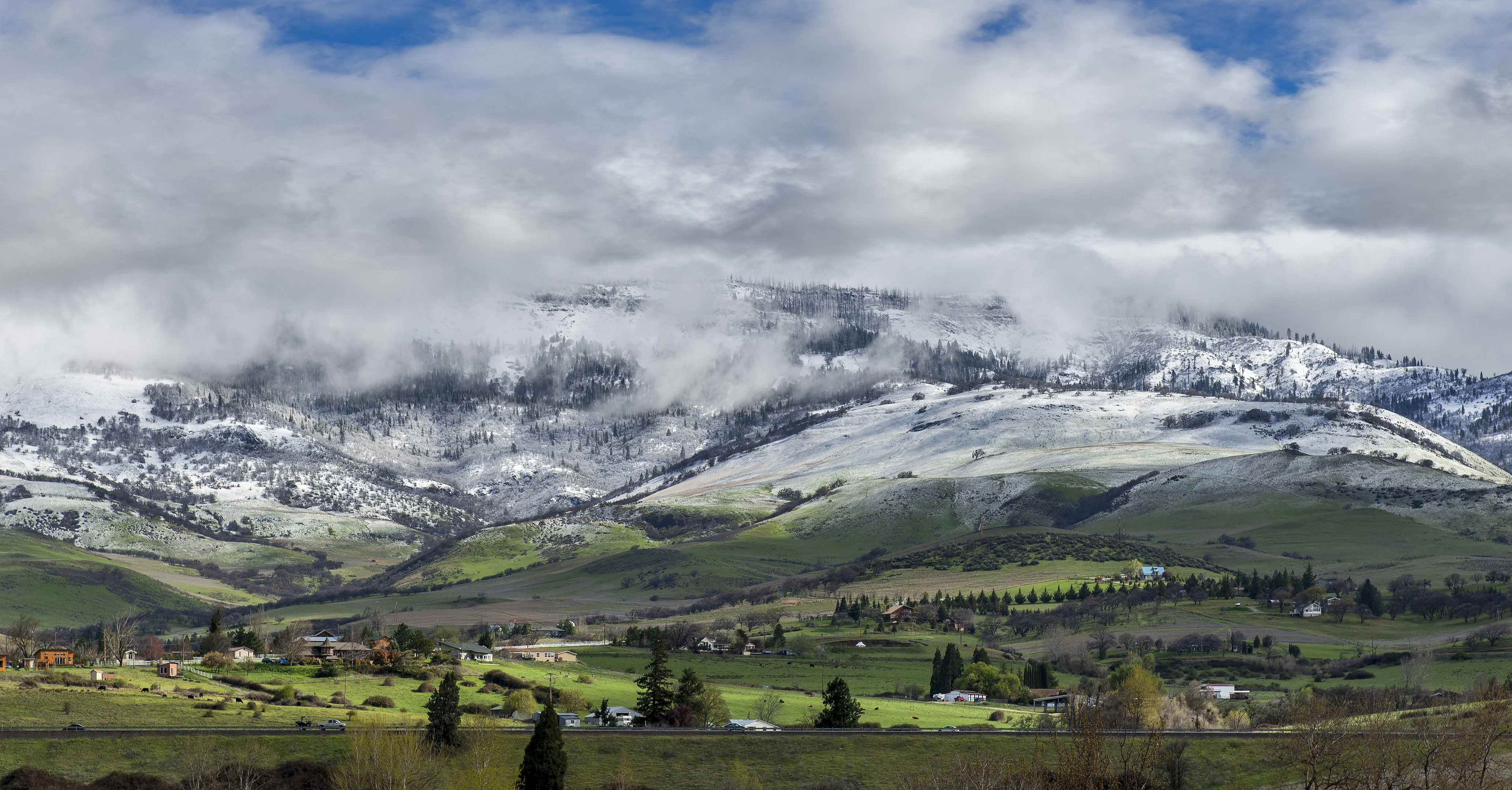
Ashland, Oregon between storms (April 2012)
I’ve been back in Ashland for almost a month now, and the sky has been visible less than 1% of that time. So here’s one from over eight years ago.

Or is it Ashland Ponds? This place is Ashland Ponds on Google Maps, but there is only one pond here.
I had never heard of, or happened on, this place after nearly 20 years in Ashland. And I get around, but somehow Ashland Pond never made it onto my radar. We were heading out to do a ride/run on the Bear Creek Greenway, like we have a million times before, when I saw this on Google Maps with what appeared to be a trail around it so we investigated. Lovely spot with no people and lots of wildlife. We saw numerous birds, ducks, and turtles. Upon further research it appears that you may encounter a family of river otters in this place as well.
You can’t get here from the Bear Creek Greenway (as far as I can tell). Instead, head to the end of Glendower Street, through the gap in the barrier, and go down and to the left.

East Applegate Ridge Trail
Yesterday we discovered a new trail less than 40 minutes from Ashland. The trail isn’t actually new, but it’s rare that we stumble upon a new trail to us after living in Southern Oregon for 20 years. The trail is a little over 10-miles out and back or five miles if you leave a car at one end. There is a parking lot at each end, although some trail descriptions say there is no parking on the west side. That parking lot (difficult to find as there are no signs on Highway 238 near Ruch) is relatively new.
Ashland, Oregon and I-5 in April 2013
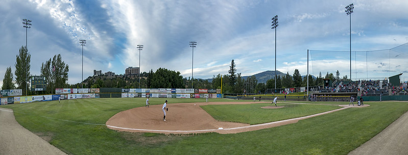
@MedfordRogues
The Rogues are on the road this week, but this is what things looked like last week in Medford.
Copyright © 2024 Ashland Daily Photo - All Rights Reserved
|
Photos processed with Topaz DeNoise |
