October sunrise
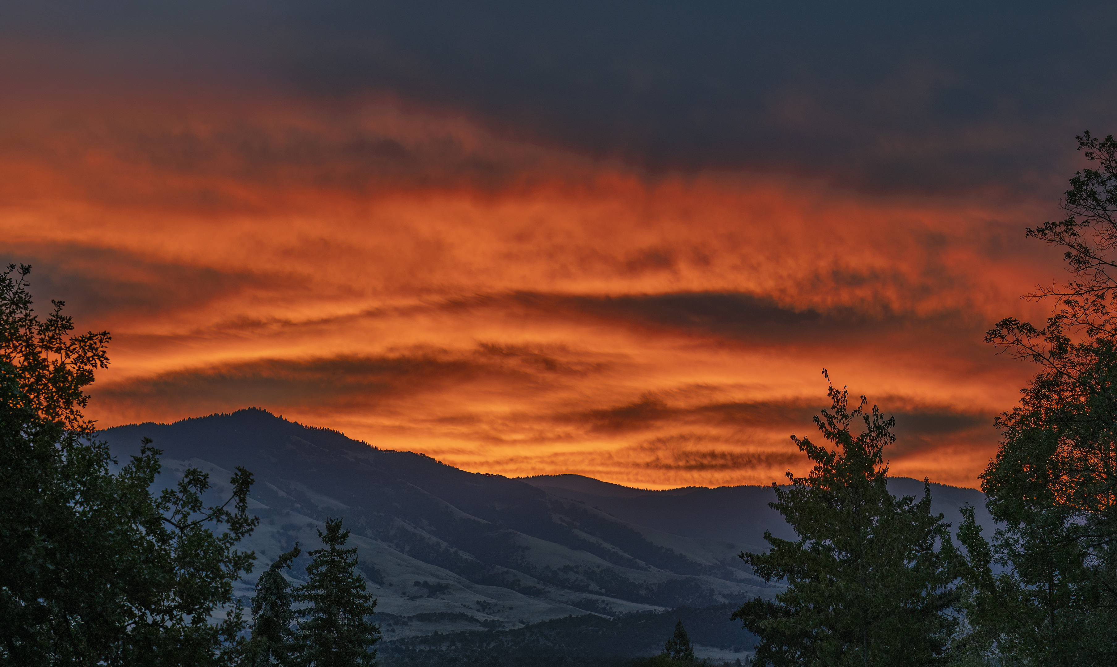
October 2024

| The above will search Ashland Daily Photo. |
October 2024
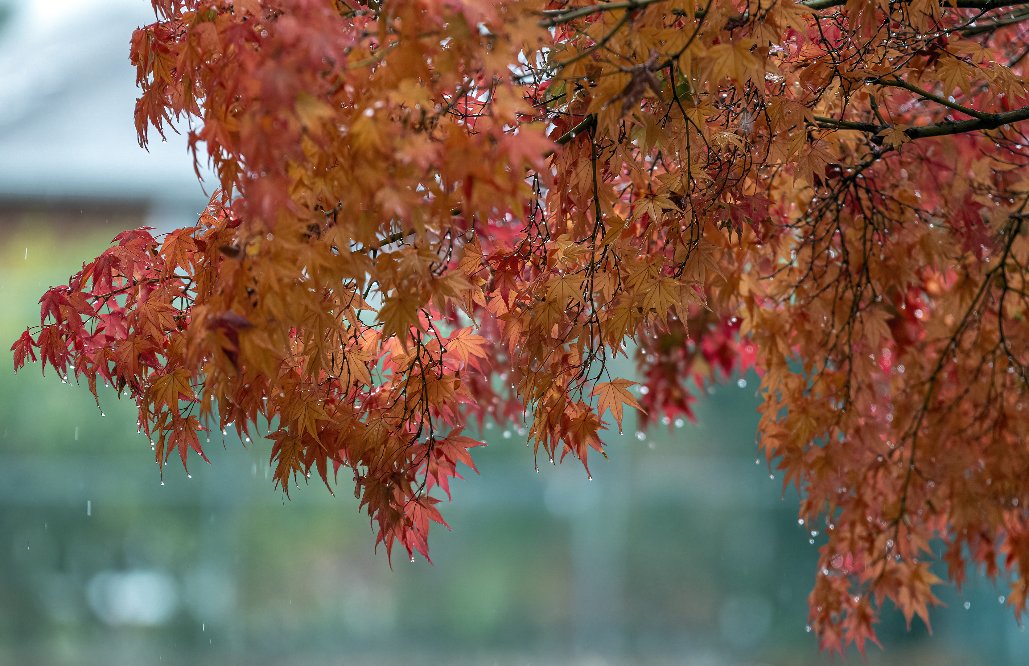
Japanese maples in the rain (October 25, 2025)
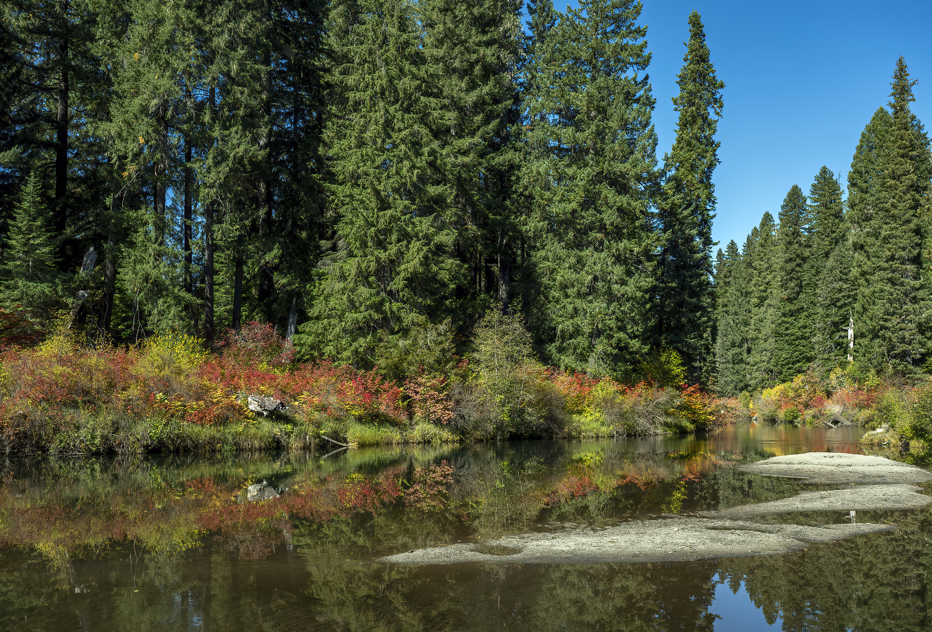
Near River Bridge Campground – October 3, 2026
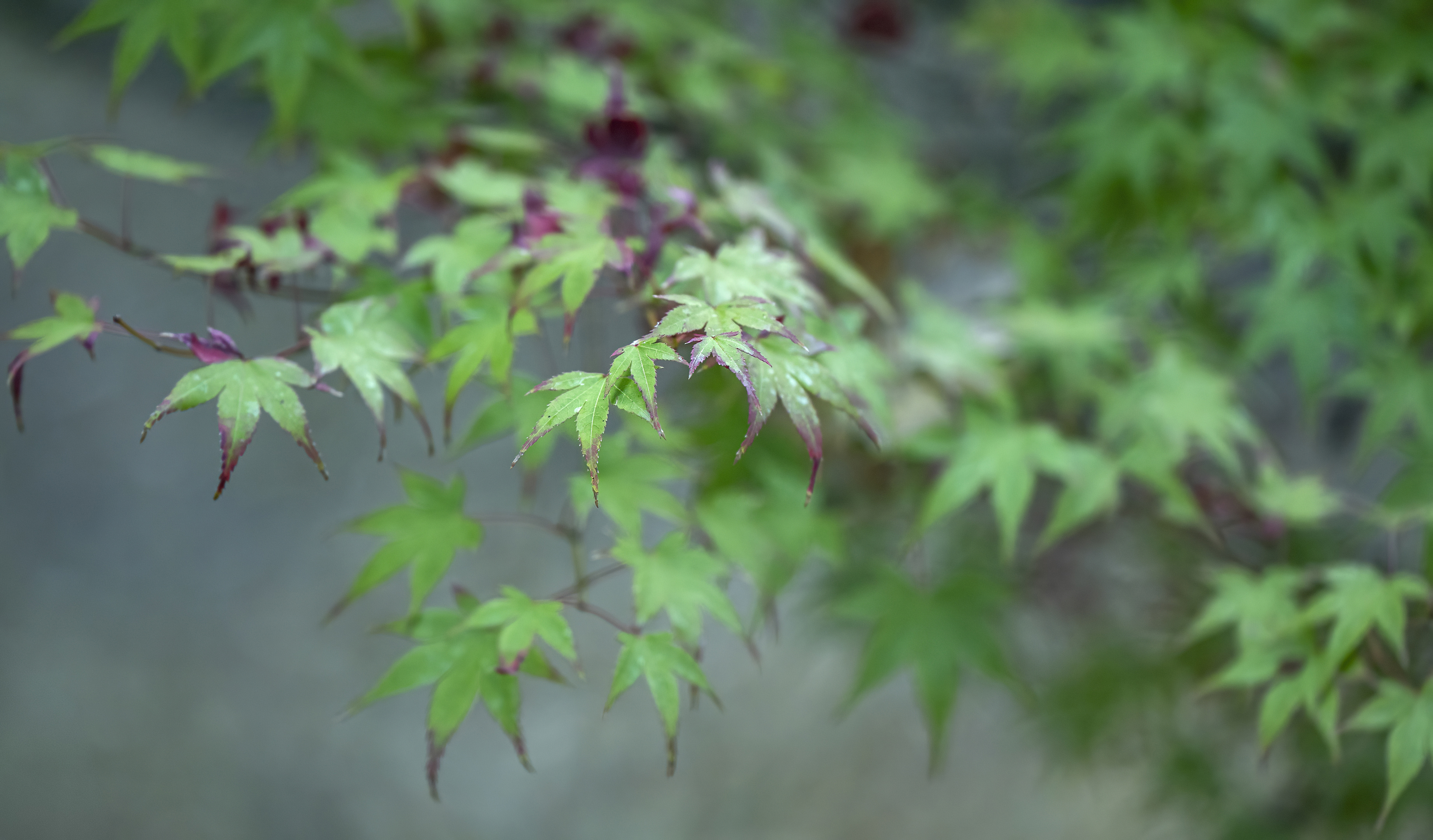
October 10, 2026
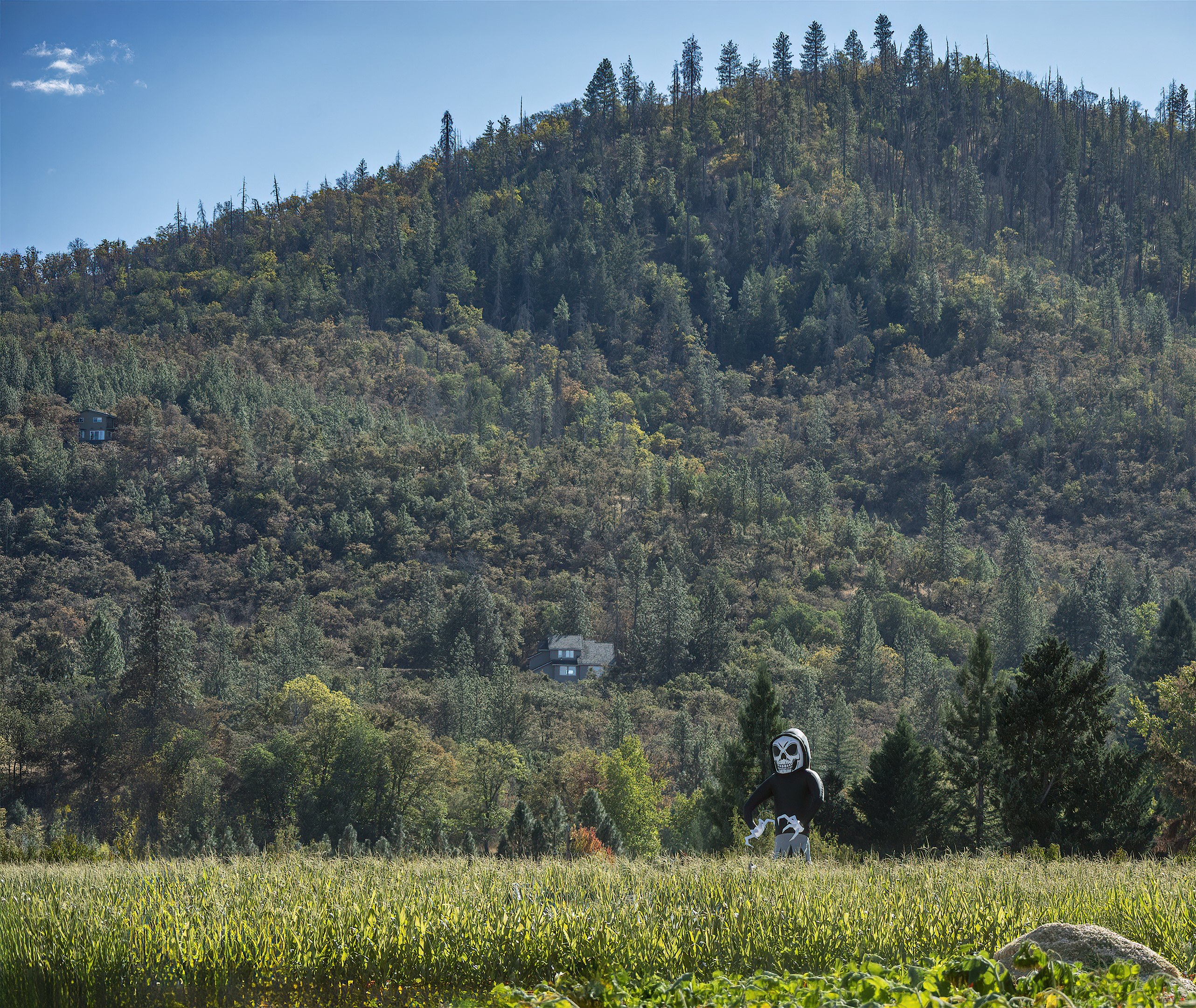
Southern Oregon pumpkin patch, corn maze, etc.
I think this was the first time I’ve been to a pumpkin patch with my kids since the 1990s. Of course, my kids aren’t so young any more. The vast majority of people there had little kids.
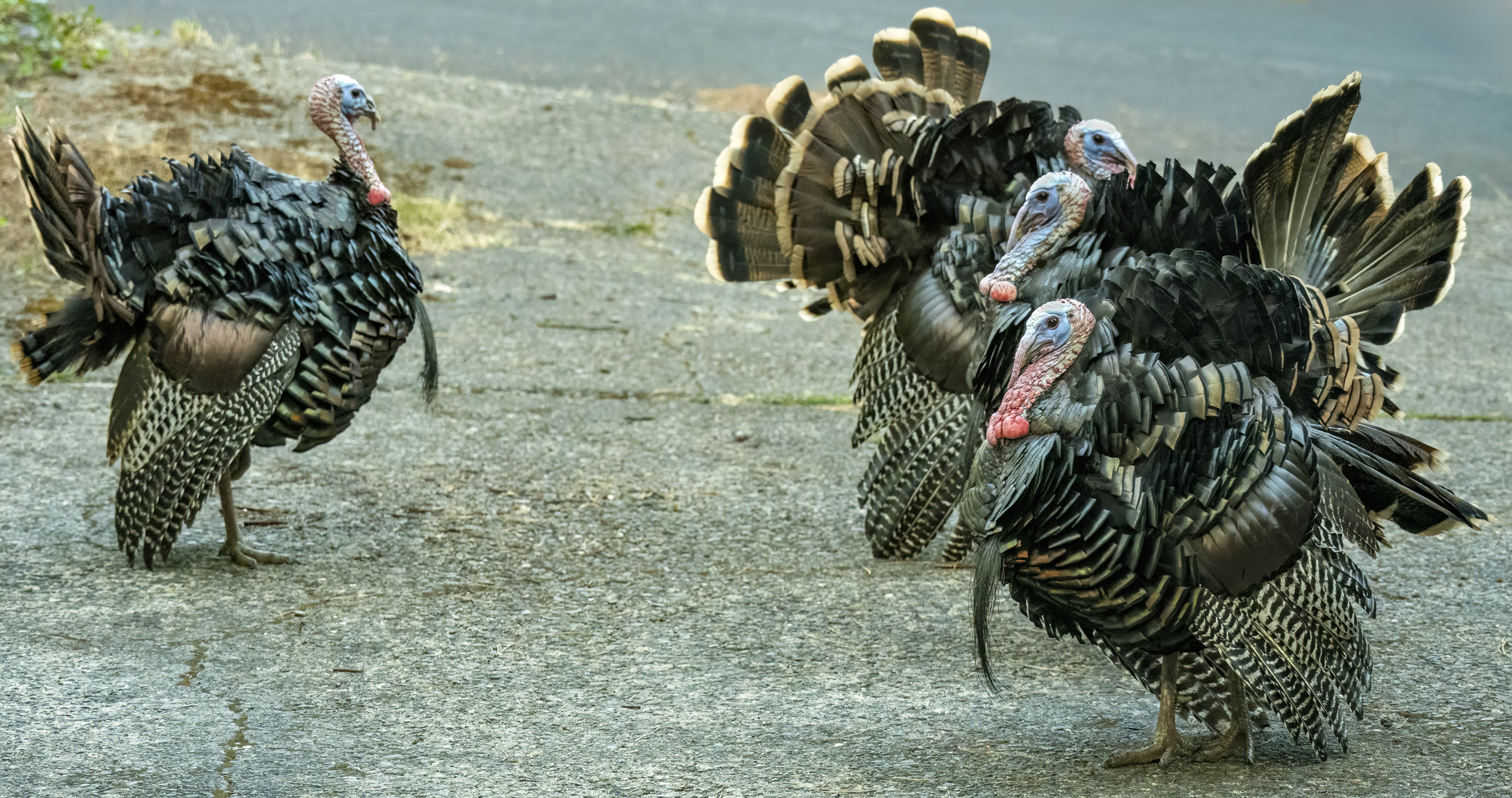
Ashland wild turkeys
…these gobblers are not worried.
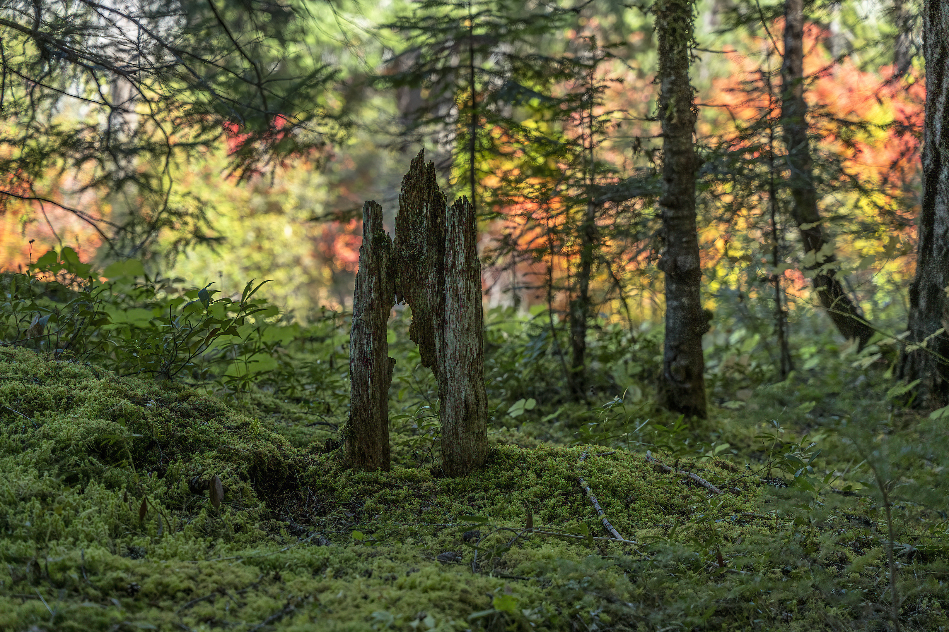
Half a mile or so upstream from River Bridge on the Rogue River (October 3, 2026)
The subject in today’s photo reminded me of castle or church remnants in some remote place. The fall colors in the background didn’t hurt.
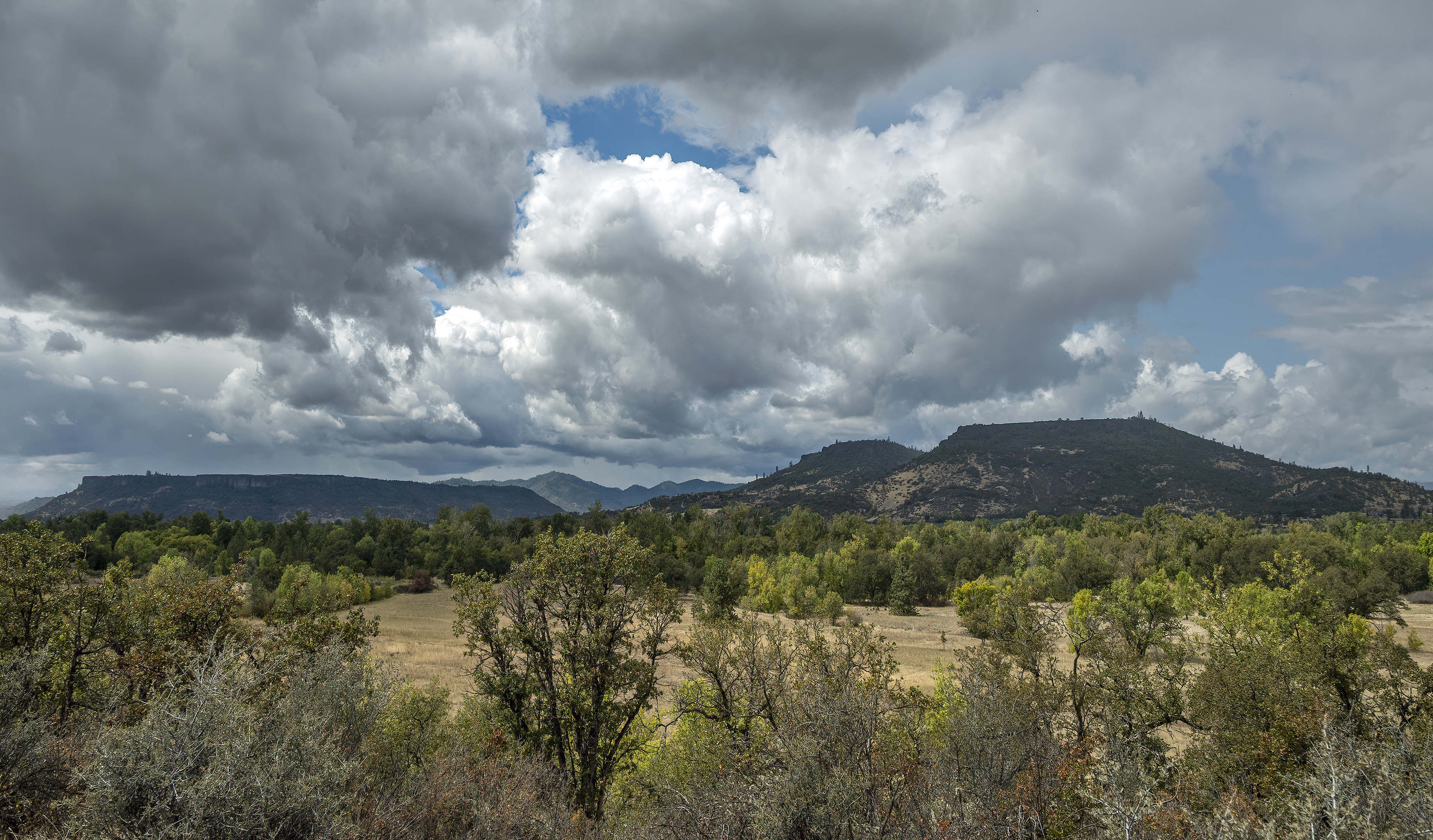
Upper and Lower Table Rocks from Kenneth Denman Wildlife Area
Today’s photo comes from a four-mile loop that we did a couple of weeks ago. We were between storms so the sky was gorgeous.
We stumbled upon some World War II-era ammunition storage bunkers and buildings left over from when the site operated as part of Camp White. We had never even heard of Camp White, but this walk sent us down a rabbit hole of discovering what the area was like 80+ years before.
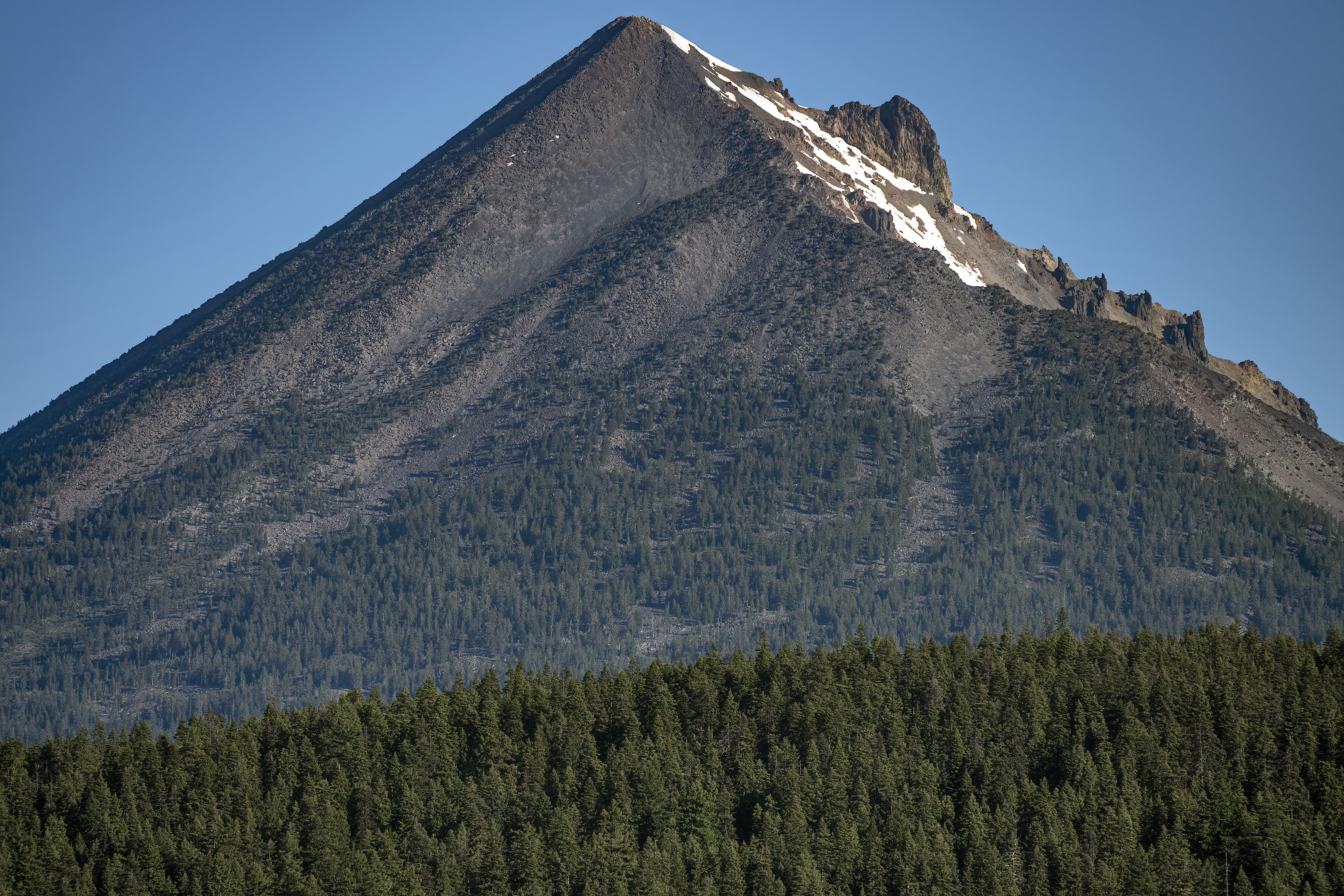
Mt. McLoughlin from Lake of the Woods (June 2026)
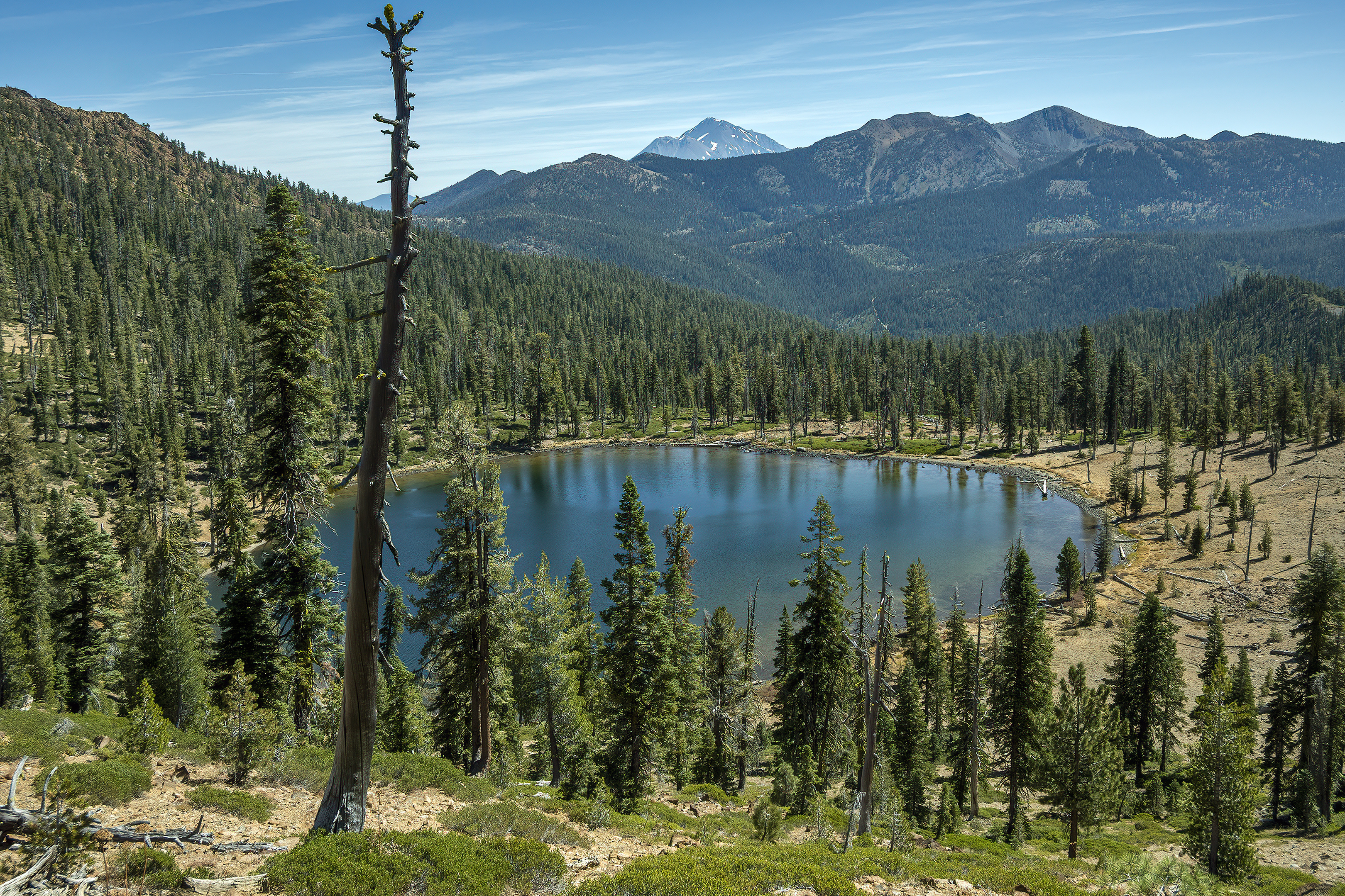
Bull Lake with Mt. Shasta and Mt. Eddy in background (August 30, 2026)
According to AllTrails, this is an 8-mile, 1,482 feet of elevation gain hike. I clocked in at 8.6 miles and 1,516 feet of elevation gain. Kangaroo Lake is near the beginning of this hike. Driving on paved roads the entire way, you can make it to the trailhead in an hour and forty minutes from Ashland.