Ashland Daily Photo
Ashland Daily Photo - A picture a day from beautiful Ashland, Southern Oregon USA in the Rogue Valley
The above will search Ashland Daily Photo.


Archive for places

Bonneville Salt Flats

Continuing on our trip begun in yesterday’s entry, we find ourselves once again in the Bonneville Salt Flats. Most people hate the salt flats, find them something to get through rather than experience. I’ve always found them to be enjoyable (except for the hot, summer night 20 years ago when I was driving a 30-year old car through them that overheated every 10 miles).

The Bonneville Salt Flats are unlike any other place on earth. While not usually aesthetically pleasing there are moments of beauty that can be found. On our way back from Utah the sun was rising, snow had freshly fallen and the clouds were most magnificent. I found it to be one of the most beautiful and different scenes I have ever encountered. Unfortunately, I was driving at the time so you will see no pictures of that view.

Today’s view is of the “Metaphor: The Tree of Utah” sculpture that Swedish artist Karl Momen created about 25 years ago in the middle of nowhere. The sculpture seems to need a fresh coat of paint. Maybe that is just a dirty windshield talking though. This sculpture is perhaps most famous for its appearance on “The Amazing Race.” A clue was placed at its base. One of the teams called it the “Tree of Hemorrhoids.”

Winter vacation

I just got back from almost 10 days on the road. We went from Ashland to Utah and back by car. For the next couple of weeks I’ll share photos from the trip.

Today’s photo is of the sunset in the salt flats between Wendover, Nevada and Salt Lake City, Utah. Sorry the picture isn’t that great. The view was great, but taking a photo through a dirty window of a car going 70+ MPH doesn’t usually result in a very good product. I did gets some pretty decent ones from the car on the way back, but you’ll have to wait a couple weeks for those. 😉

Mt. Ashland Ski Lodge

I’m still out of town so I’m borrowing another picture from the Ashland Daily Tidings.

Snow at SOU

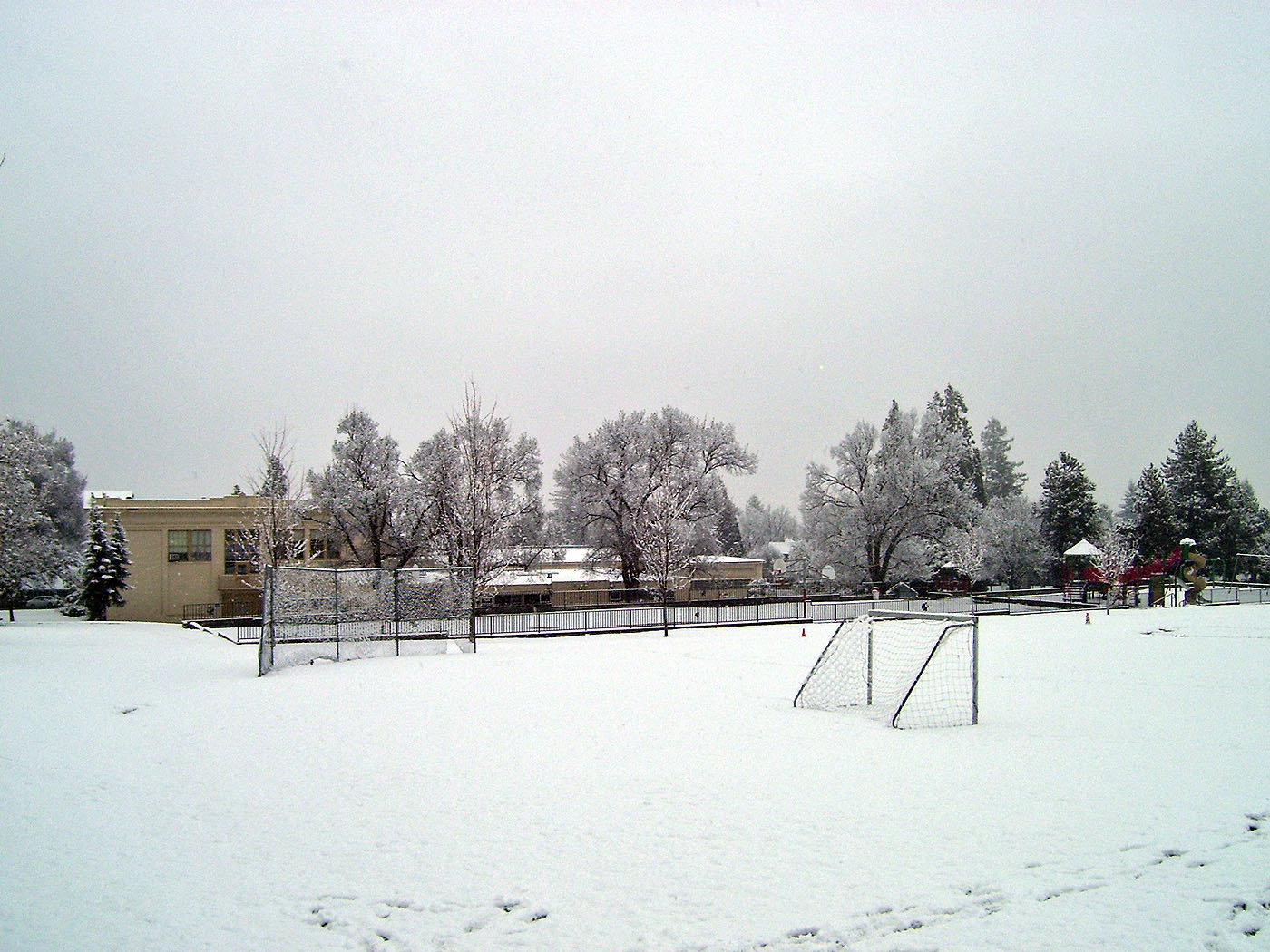
Late start for Ashland School District

School is going to start at least 2 hours late today. Have any guesses as to why?

The above picture is of Lincoln Elementary School. It isn’t in use by the school district anymore anyway. It closed back in 2004 if I remember correctly.

It’s actually snowing pretty good right now as I write this at 7 a.m. so I wouldn’t be surprised if school is canceled for the whole day. Click here to check.

Mt. Ashland

I went for a walk yesterday on Ridge Road and took a number of photos from there which I will share with you in the coming weeks. This one is of Mt. Ashland before its first real snow of the season. Now that I think of it, this may be the first picture of Mt. Ashland I’ve posted here. I’ll have to get on the ball and make up for lost time.

Fishing in the Rogue River

As each day gets a little darker and colder than the last this time of year it is fun to dip into the archives and remember what it’s like to go fishing in the nearby Rogue River in August.

Festival of Light

The third of Ashland’s “Big Three” parades is the Festival of Light, held every year on the day after Thanksgiving. The other two are the 4th of July and Halloween parades. This one is the least popular, probably because it is the coldest. But there are still thousands of people in attendance.

After the parade Santa lights up the town (the “Grand Illumination”) from the balcony at Alex’s restaurant. Carols are sung and little kids get their picture taken with Santa at the Black Swan. Over a million lights go on.

The picture, above, is before most of the lights went on since it was taken before the parade. You can see the Varsity Theatre (home of the Ashland Film Festival), and the Ashland Springs Hotel.

We had Thanksgiving dinner at Larks which is between the hotel and the theatre. It was the best Thanksgiving dinner I’ve ever had.

Bull Gap Trail

Today’s picture goes along with yesterday’s. It was taken a couple of months after yesterday’s photo in 2004. My kids and I were hiking on Bull Gap Trail. In the background (upper left) you can see Wagner Butte.

Bull Gap is a trail that leads you right up to the ski lodge on Mt. Ashland. I’ve hiked it a couple of times and ridden my bike down it a half dozen or so times. If you want to bike down it you should ride your bike up the main road to the lodge or you can ride up some fire roads to get there. If you start from Ashland you’ll be in for a long day. If you don’t have the time you can drive a car up to four corners and ride up from there.

Both Bull Gap and Wagner Butte are in the Siskiyou Mountains. From both you can view the Cascade Mountain Range.

Hike to Wagner Butte

I’ve been showing some pictures of Mexico on my other blog this week. Most are of Ashland’s sister city, Guanajuato. By searching for those pictures, I’ve discovered some others of Southern Oregon like the last two days’ photos.

Today’s picture is of a hike I took with my kids several years ago in May. Snow was still on some of the local mountains even though everything had turned green. The hike was to Wagner Butte, a place that can be seen from Ashland. We didn’t make it all the way there, but I went back a month later without my kids to complete the trip. (Wagner Butte Hike is over 10 miles round trip with an elevation gain of 2,200 feet.) This photograph was taken after just a mile (which is actually the steepest part of the whole hike).

We would have hit snow long before we reached Wagner Butte anyway so the intent on that day wasn’t to do the whole thing. To get to the trailhead you go through Talent, the town just north of Ashland. Best time to do it is late spring or summer as there can be tons of wildflowers.