Ashland Daily Photo
Ashland Daily Photo - A picture a day from beautiful Ashland, Southern Oregon USA in the Rogue Valley
The above will search Ashland Daily Photo.


Posts tagged panorama

Ashland High School football field

ashland oregon high school football field

Ellie has started conditioning for AHS volleyball next school year. The workouts are early morning. While waiting for her to come out I wandered over to the nearby football field as the sun was just coming up. I couldn’t fit everything into the photo even with my ultra-wide angle lens so this is a photomerge of two wide-angle photos.

Go Grizzlies!

Pre-eclipse Ashland panorama

ashland oregon

Ashland, Oregon panorama

Before last Sunday’s eclipse, I scouted out various locations for photo taking. I like this particular place for landscapes, but the view wouldn’t have looked much different during a solar eclipse so I took this photo* and moved on to ScienceWorks for the eclipse party instead.

You will see a lot more detail if you have a widescreen computer monitor, maximize your window, and then click on the image. To capture as much detail as possible (and not miss out on the amazing clouds) *I shot about 8 or 10 images vertically at 24mm (36mm equivalent as I have a crop sensor) and then photomerged them together for this very horizontal panorama.

From left to right, you can see Pilot Rock, Mt. Ashland, and Wagner Butte. This panorama covers nearly 180 degrees and pretty much all of the Siskiyou Mountain Range viewable from Ashland.

Dead Indian Memorial Road Panorama

ashland oregon dead indian memorial mountain panorama tokina 11-16

On Wednesday I had a bit of free time in the afternoon, and the clouds began to break up, so I headed up Highway 66 into the Green Springs. I was going to look for a bald eagle I heard had nested near Hyatt Lake. More on the eagle later….

On my way home I came down Dead Indian Memorial Road into Ashland and took several photos which I photomerged together to arrive at the above panorama picture.

Cloudy Ashland Panorama

ashland oregon panorama grizzly peak bluff

I went back to the same location as this prior image to give this panorama shot another try without so much sun. This time I photomerged images taken at 24mm (on a crop sensor) instead of 11mm.

There is a bird flying through this photo just right of center. I think that is Pompadour Bluff in the center.

Los Angeles Panorama

Griffith Observatory Los Angeles panorama hollywood sign

I’m in Los Angeles for a few more days. Here is a photo I took on Thursday as I was pulling into town. Actually, this is a number of photos merged together spanning more than 180 degrees. On the far left is Griffith Observatory. On the far right is the Hollywood sign. Click on the image for a lot more detail. I’ll be posting more photos of Los Angeles on my other blog.

Ashland panorama

sunny ashland oregon grizzly peak covered in snow

Yesterday was a really beautiful day in Ashland. Unfortunately, I had to work most of the day. However, I did get this shot off on my way to work. Actually, this is five shots merged into one in CS5 and probably covers about 150 degrees. That’s why Grizzly Peak, on the left, looks so small even though I wasn’t that far from it.

Other than the sun being too much, I really like how this photo turned out. I’ll have to try it again someday when the sun is behind a cloud.

Vineyard panorama

vineyard panorama napa california

I took a series of eight, wide-angle images while standing on a barrel in the middle of William Hill Vineyards at 6:20 a.m., and this is the merged/stitched result. This panorama probably covers about 200-250 degrees of the view. Unfortunately, it was the wrong season (no grapes or leaves on the vines) and the sunrise was a bust (totally overcast). Otherwise, it could have been spectacular. The William Hill Winery is to the left. For a better view, click on the image from a computer with a big screen.

Grizzly Peak Panorama

grizzly peak ashland oregon snow

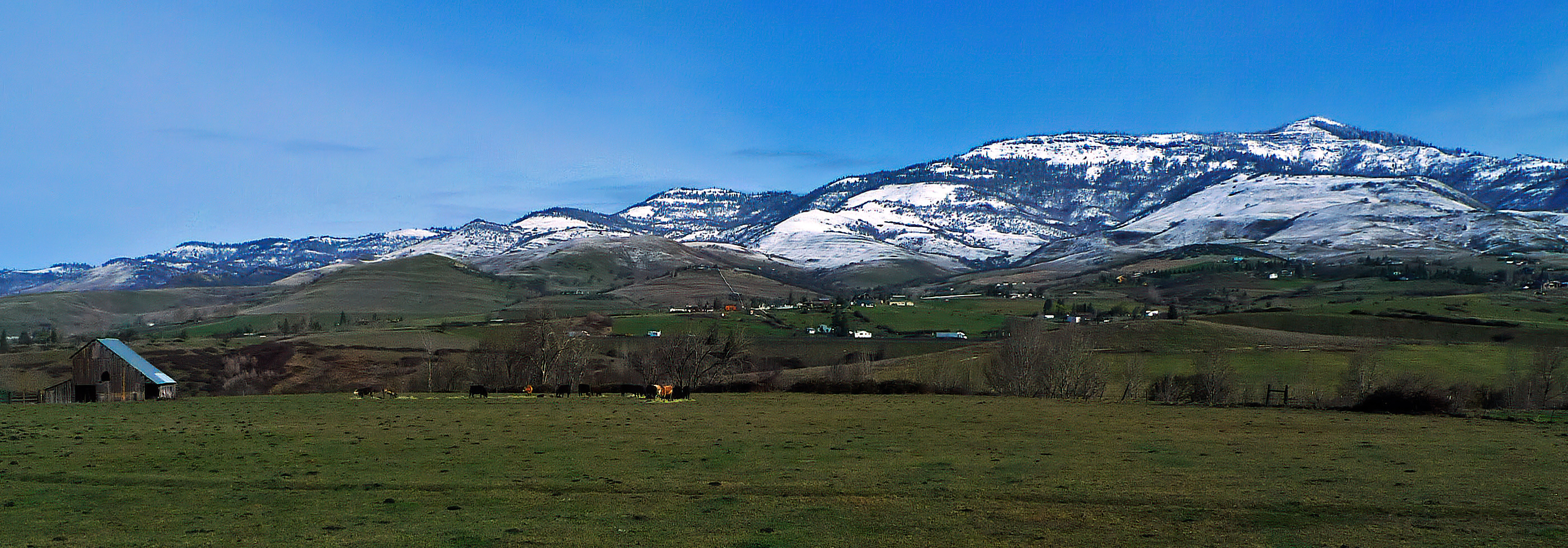
Grizzly Peak panorama

This image isn’t done justice in a blog window. Hopefully you have a decent monitor (18+ inches) and can click on this to expand it to its full width.

If you look closely you can see not only cows but also some trucks on I-5.