My daughter, who was 9 at the time, took this picture through her bedroom window on June 6, 2007. Our mountains are in their transition phase in early June. They aren’t as green as they were a month or two before, but they aren’t nearly as brown as they get later in the summer either.
September 19th, 2008 | Tags: clouds, home, mountains, trees, valley | Category: nature | Comments Off on Cloudy day

Photo taken in September 2008
As the sun set, SOU had the lead 11-3. Darkness was not good to the Raiders as they went on to lose the game.
For some views looking from the hills in the distance back towards town see the last couple pictures in this entry.
September 18th, 2008 | Tags: grizzly peak, mountains, signs, Southern Oregon University, sports, trees, valley | Category: places | Comments (2)
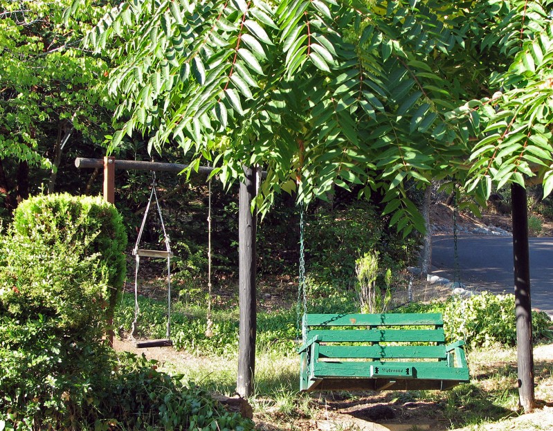
Photo taken in September 2008
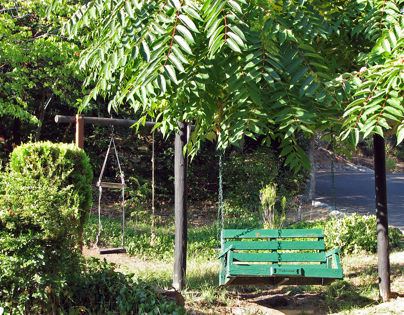
On the corner of Terrace and Ridge a property owner has turned the edge of his private property into a little public park with a couple of swings, one saying “Welcome” on it. Ashlanders like to walk this part of town because of the challenge of the hills, and this spot is a favorite for a rest.
September 17th, 2008 | Tags: home, signs, trees | Category: only in ashland, places | Comments (1)
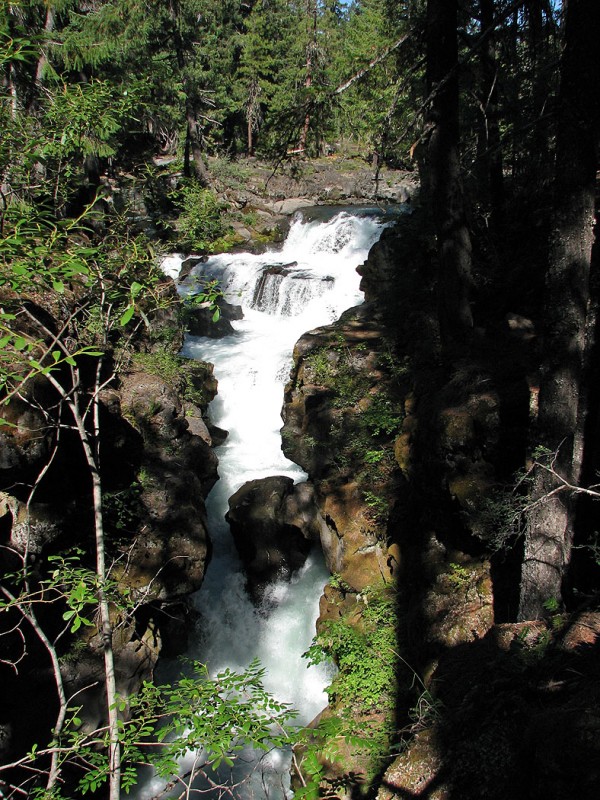
Photo taken in August 2008
The Rogue River Gorge is spectacular. You can walk the Rogue Gorge Trail for several miles and be treated to amazing views like this.
The trail is easy to find off of Highway 62 just north of the Union Creek Campground. Look for the Natural Bridge Viewpoint parking lot on your left. If you miss it you’ll know you have once you see the river on your left. But you probably won’t because the parking lot is clearly marked and quite large (and empty every time we have been there). If you are going to Crater Lake from Medford this is right on the way.
September 16th, 2008 | Tags: hike, rogue river, trees | Category: nature, places | Comments Off on Rogue River Gorge

Photo taken in September 2008
September 15th, 2008 | Tags: people, SOU cheer dance, Southern Oregon University, sports | Category: people | Comments Off on SOU Cheerleaders
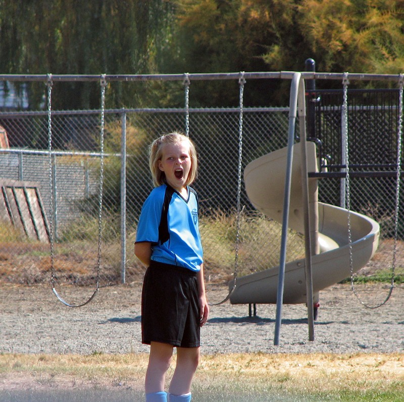
Photo taken in September 2008
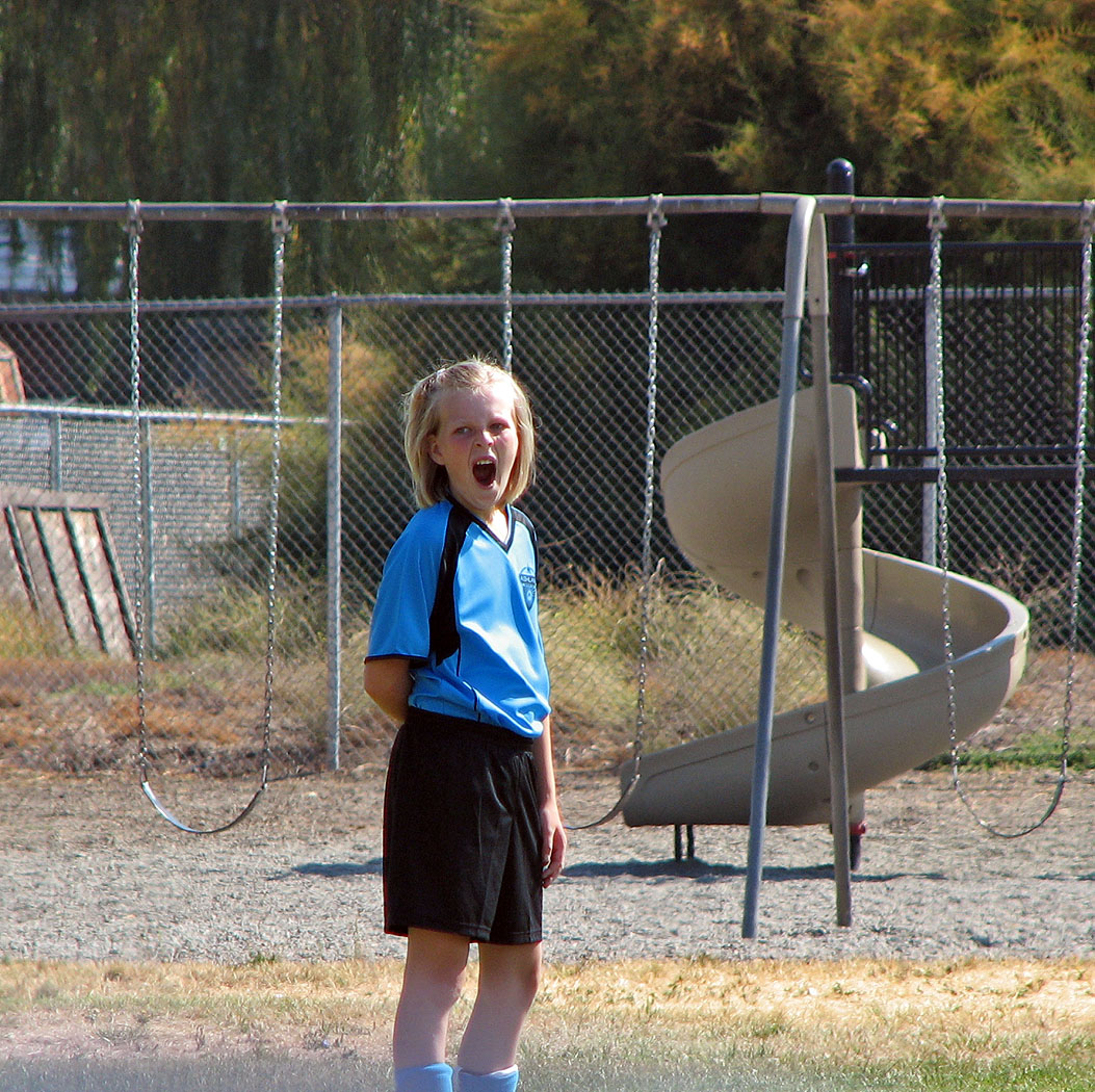
A rather boring game for the Ashland Soccer Club
September 14th, 2008 | Tags: people, sports | Category: people | Comments Off on Ashland Soccer Club

Photo taken in August 2008
I’m not sure what happened here, but it looks like a fire completely destroyed what was once a house on East Main Street. It probably happened while we were gone for six weeks beginning in June or I probably would have heard of it. There is something almost peaceful about a burned out house for which nearly nothing but the foundation and the chimney remain.
September 13th, 2008 | Tags: valley | Category: places | Comments Off on House remains
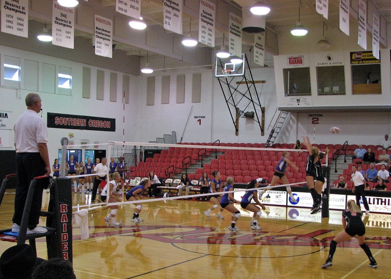
Photo taken in September 2008
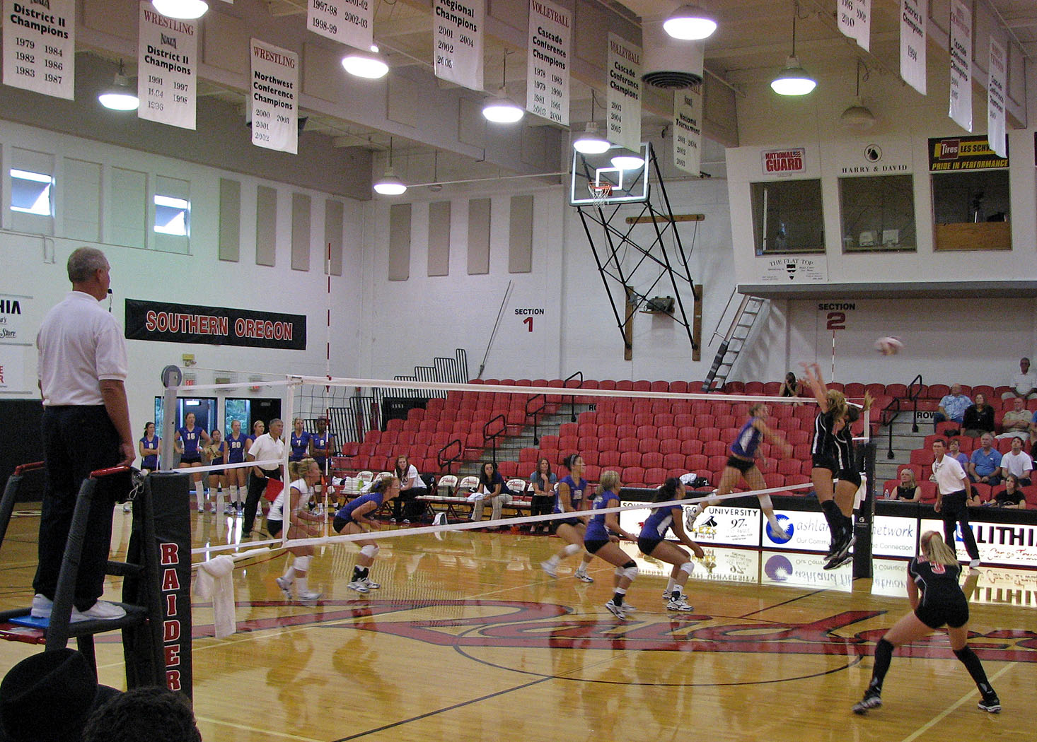
It doesn’t look like this block was successful, but look at the vertical leap of the girl on the left (Mia Wortel, one of my students). She looks to be two feet off the ground jumping straight up. The building interior in the above picture is the McNeal Pavilion on the SOU campus.
September 12th, 2008 | Tags: people, Southern Oregon University, sports | Category: people, places | Comments Off on SOU volleyball goes for the block

Photo taken in August 2008
Ever heard of Lithia Motors? Probably not unless you live in the Western part of the USA where there are over 100 Lithia auto dealerships. The first one started right here. The CEO lives down the hill from me. The “Lithia” in Lithia Motors comes from guess where? That’s right, Lithia Park.
September 11th, 2008 | Tags: funky cars, lithia park, trees | Category: lithia park | Comments (2)

Photo taken in September 2008
This past Monday morning we dropped the kids off at school and headed up Tolman Creek Road to Four Corners. From there we hopped on our bikes and road for about 20 miles on most of Ashland Loop Road (Forest Road 2060 or Horn Creek Road on Google Maps). The above picture is from about four miles in from Four Corners at one of the two Ashland Creek forks one passes on the road. Both of the creek’s forks eventually drop into Reeder Reservoir. I’ll have a picture or two that actually include water on a later date.
After about 10-12 miles from Four Corners there is a fun bit of single track on your right called Horn Gap Trail if you like real mountain biking. At the end of the single-track portion of Horn Gap be sure to turn left even though it seems like you should be turning right. When you end up at a T in the road (with a Horn Gap sign behind you) turn right to ride the last few miles downhill into Lithia Park.
I’ve done this loop before from my driveway and have to say that it is much more enjoyable from Four Corners. From my driveway to Four Corners is about 6 miles of all uphill. In just 6 miles you gain 3,000 feet of elevation. Needless to say, the next 20+ miles isn’t so enjoyable after such a climb. You feel like you’ve accomplished something but you are in agony most of the way. If you start from Four Corners it’s fun the whole time.
Another great thing about this ride is the lack of people. In my 50 or so miles doing it on two occasions I’ve yet to see another human being. I have seen a couple of bears and other wildlife but no humans.
September 10th, 2008 | Tags: biking, mountains, siskiyous, trees | Category: nature, places | Comments Off on Ashland Loop Road