SOU Football

Photo taken in September 2008
We went to the football game last Saturday night. SOU lost by one to Humboldt State University. The setting was beautiful even if the outcome wasn’t.

| The above will search Ashland Daily Photo. |
Photo taken in September 2008
We went to the football game last Saturday night. SOU lost by one to Humboldt State University. The setting was beautiful even if the outcome wasn’t.
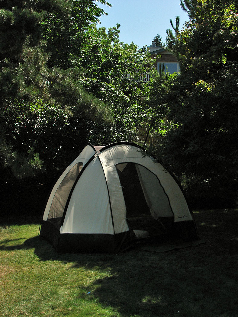
Photo taken in September 2008
Didn’t go camping this year for the first time in probably 20 years, but we did set up the tent in the backyard for a few nights.
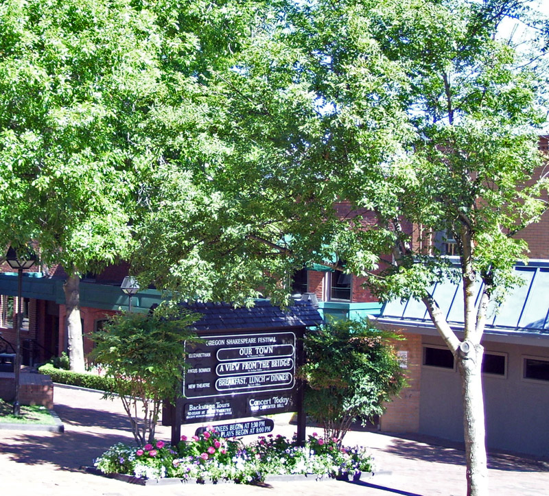
Photo taken in August 2008
Sign board on Pioneer Street between the three theaters and next to the Green Show area

Photo taken in August 2008
The city band plays under the bandshell on Thursday nights in the summer. Sometimes there are other events here like “Ballet in the Park,” other concerts, and high school graduation. SOU’s graduation ceremony took place here until 2002.

Photo taken in August 2008
The above picture was taken from Tolman Creek Road in front of the house near the YMCA that usually has many geese in their yard and also features a small pond. The angle was my way of greening up Grizzly Peak which is pretty brown this time of year.

Photo taken in August 2008
On the Friday of Labor Day weekend we decided to visit this waterfall since we hadn’t previously. The drive was very easy and very beautiful. We were on paved road for everything but the last few feet.
Amazingly enough, we were the only ones there! That is one of the things I love about Southern Oregon. Places that would have hundreds of people elsewhere are empty, or nearly so, here. While not as spectacular as Silver Falls near Salem, this place is still wonderful. We enjoyed a lunch and a soak in the freezing cold water.
Note that you may want warmer clothes than what the temperature in the parking lot would seem to indicate. It was over 90 degrees in the parking lot on the day we went, but I’m guessing it wasn’t more than 75 degrees once we hiked the half mile down to the falls. You can feel the temperature drop with each step you take on the downward, swichbacking path.
To get to the falls from the Rogue Valley take Highway 62 east from Medford to the Union Creek area. The road splits with a right turn taking cars off to Crater Lake. Don’t turn. Continue straight on Highway 230 north toward Diamond Lake. At mile marker 6 turn right on Forest Road 6530. These roads are clearly marked, and there are signs to National Creek Falls several places along the way so don’t worry. Stay on Road 6530 for 1.3 miles; bear left at a fork in the road to stay on 6530. Continue about 2.5 miles to a junction with Road 300. Turn right and the parking lot will be immediately in front of you.
You can make this your only stop on a short day trip if you get a late start, or if you get an early start you can make it one stop on a trip to or from Diamond Lake, Crater Lake, or the Rogue River Gorge. Note that once the snows hit you won’t be able to drive on Road 6530.

Photo taken in August of 2008
We don’t actually have chipmunks in Ashland (that I know of anyway). We have squirrels. I took the above picture a little over an hour from Ashland near Union Creek next to the Rogue River.
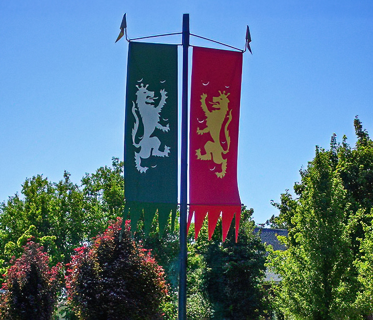
Banners created to celebrate the 75th anniversary of the Oregon Shakespeare Festival in Ashland, Oregon (2008 photo)
Oregon Shakespeare Festival heraldic banners line the downtown area of Ashland for much of the year.

Photo taken in August 2008
Summer isn’t the best time to visit Lithia Park’s Japanese Gardens (Fall or Spring have more color), but if it’s shape you’re looking for, instead of variety of colors, then Summer is OK too.
