Castle Lake and Mt. Shasta
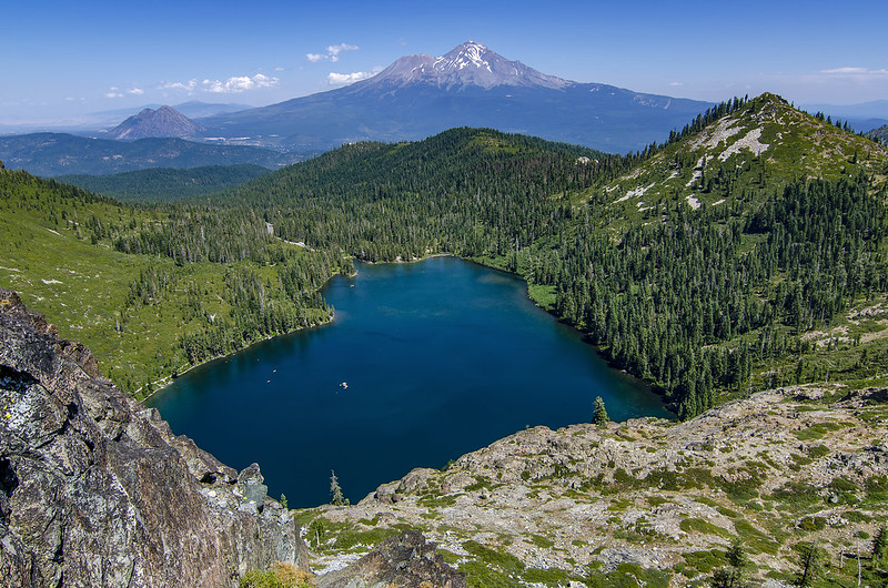
You can find this spot just an hour and a half south of Ashland.

| The above will search Ashland Daily Photo. |
You can find this spot just an hour and a half south of Ashland.
@whattodoinsoore #whattodoinsouthernoregon #findyourSouthernOregon @Oregon_explored #Oregonexplored
My random, desktop image of the day comes from a hike I took just over two years ago. I nearly died that day. Good memories.

@whattodoinsoore #whattodoinsouthernoregon #findyourSouthernOregon @Oregon_explored #Oregonexplored
About two hours from Ashland, and not far from Crater Lake, is the trail to Toketee Falls. The trail to the falls offers views like the above.

Today’s photo is a reverse angle of this one on the PCT.

2/3 point on the Pacific Crest Trail

Another shot today from the hike we did a month ago on Marys Peak when we headed north for the eclipse. I don’t think I’ve ever hiked through old growth Noble Firs before. The carpet of clover made it extra special.

Well, not this much, but today is supposed to be the last day to hit 80 degrees for at least the next 10 days. Maybe we won’t see 80 again this year?
In other news, there is a chance of snow at SOU’s football game this Saturday in Dillon, Montana.
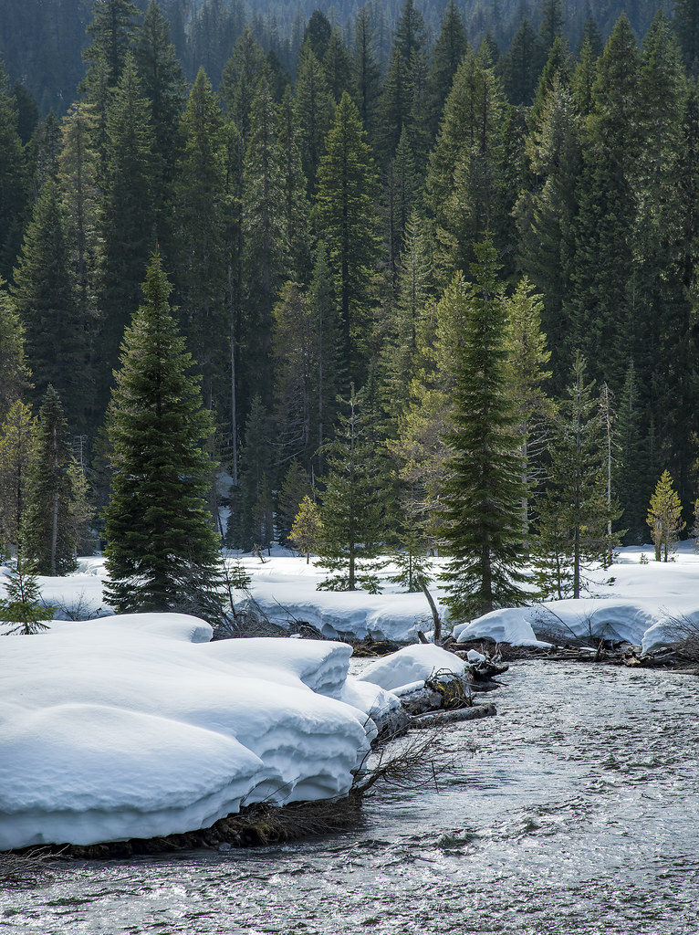
Today’s photo comes from May of this year. Snow in May? Not in the valley but Hobart frequently gets snow in April and sometimes in May.

We hiked around on Marys Peak today. Most people were just heading to the summit, which was rather unspectacular, IMO, and then heading back to their cars and taking off. The view from the summit would be far more spectacular at sunrise, sunset, or on an extremely clear day. Today things were a bit hazy and the overhead sunlight washed everything out. So a runner we talked to recommended the Meadow Edge Trail. This trail was extraordinary. As we walked in an old growth Noble Fir forest the sunlight came squeezing through just enough to make the clover-covered ground look amazing. This was probably my second favorite trail (after Stout Grove in Jedediah Smith Redwoods State Park) that didn’t include real “views” or a lake at the end.

We traditionally take a walk on the White Rabbit Trail in the Ashland watershed on Thanksgiving. However, our walking partner was out of the country yesterday so we opted for Hobart Bluff instead. The trail, itself, wasn’t in great shape as it was muddy or slick with snow or ice, but the view at the end was worth it.

After my first attempt ended in failure, I made it to Muir Creek Falls yesterday. No wonder there aren’t any photos or discussions of this place on the internet; the “easy” Muir Creek Trail is awful in its current condition. Parts of Muir Creek Trail are overgrown, parts have trees (many trees!) blocking the trail, and I completely lost the trail a few times.
After finally reaching the falls I decided not to go back the way I came. Instead I crossed the falls, via a fallen tree, to the other side. There is a house and barn on the other side. I became a bit freaked out, in part by an unrealized fear of some guy coming out of the house in the middle of nowhere and in part by the wild cows on the property. Instead of crossing through the property to get to road NF-2734 I opted to tough it out through the forest. Big mistake. I ran into more cows in the forest. Cows in the forest are scary. They never charged me, but they cursed me with their eyes, and I headed in the opposite direction. The forest terrain was very steep. I took a nasty fall at one point, did more bushwhacking than I would have liked, and ended up with blood trickling down hands, arms, and a leg.
I’m done visiting Muir Creek, but should you be so inclined, I have a few recommendations:
1) If taking Muir Creek Trail, be sure to have long pants on. Also, be sure you have the local map downloaded into your phone beforehand for offline use. GPS works out there, but there is no internet. Put the trail into your phone so you can find it when it disappears. Also, waterproof boots are a good idea as I ended up walking through 2-5″ of water several times.
2) Don’t try to get to Muir Creek from the east. The terrain is awful.
3) A possible easy route is via Road NF-2734. You’ll have to walk through the aforementioned property. I have no idea how often someone stays there or if they are friendly.