Ashland Daily Photo
Ashland Daily Photo - A picture a day from beautiful Ashland, Southern Oregon USA in the Rogue Valley
The above will search Ashland Daily Photo.


Archive for places

White Rabbit

ashland oregon mad hatter queen of hearts

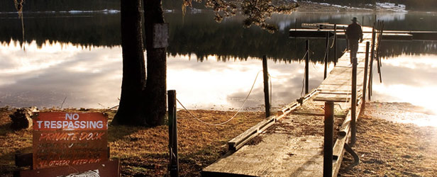
My first time down White Rabbit was New Year’s Day in 2001. The weather was warm, and I was a rather unexperienced mountain biker at the time. This trail is not for the beginner. There are some serious drops in a few places that aren’t even easy when you walk the trail. The names of the side trails are all Alice in Wonderland themed. For a map and directions see my prior post.
Sunflowers

ashland oregon

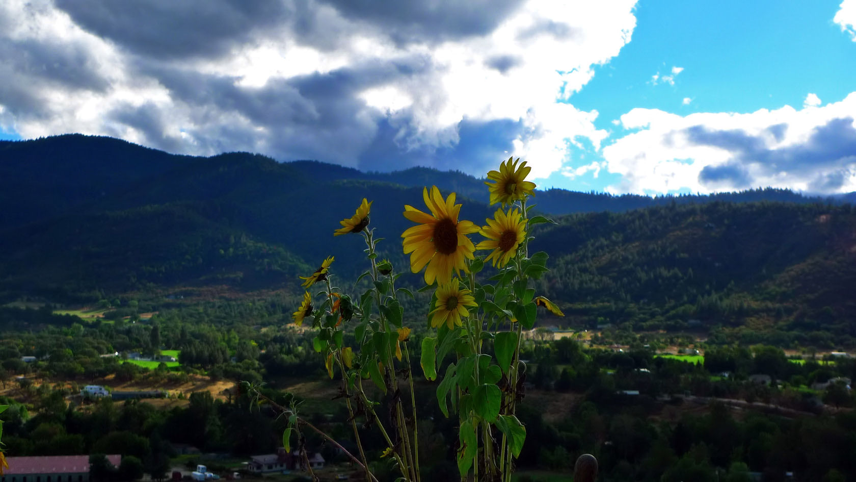
Today’s photo is another I took from my friend’s deck a couple weekend’s ago.

Back to school at SOU

southern oregon university administration buildings

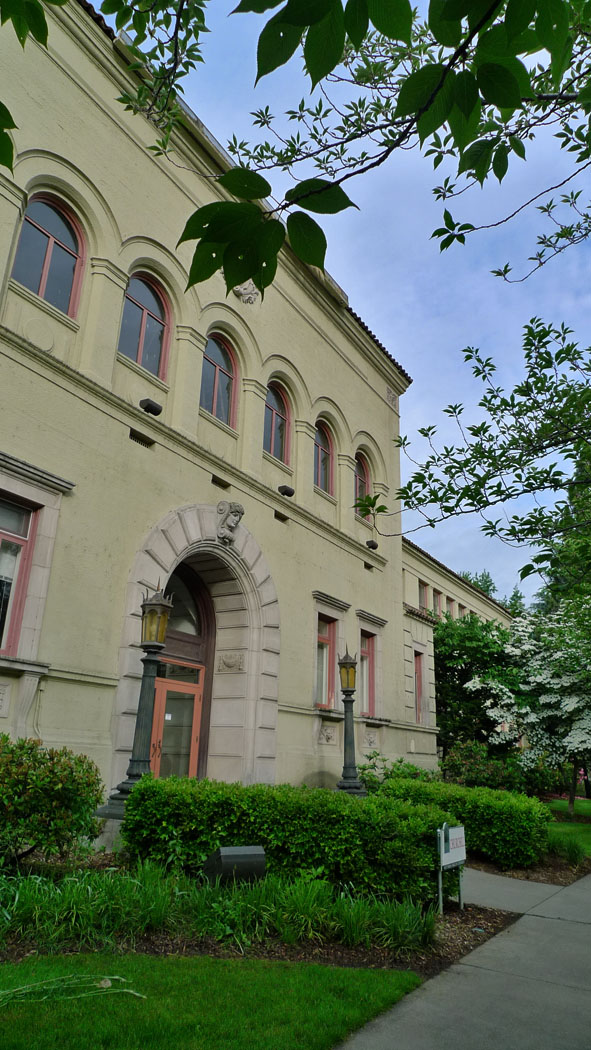
Today I went back to school to teach my first face-to-face course at Southern Oregon University in over a year. There is nothing like that first-day-of-school feeling.

Grizzly Peak

waterline road

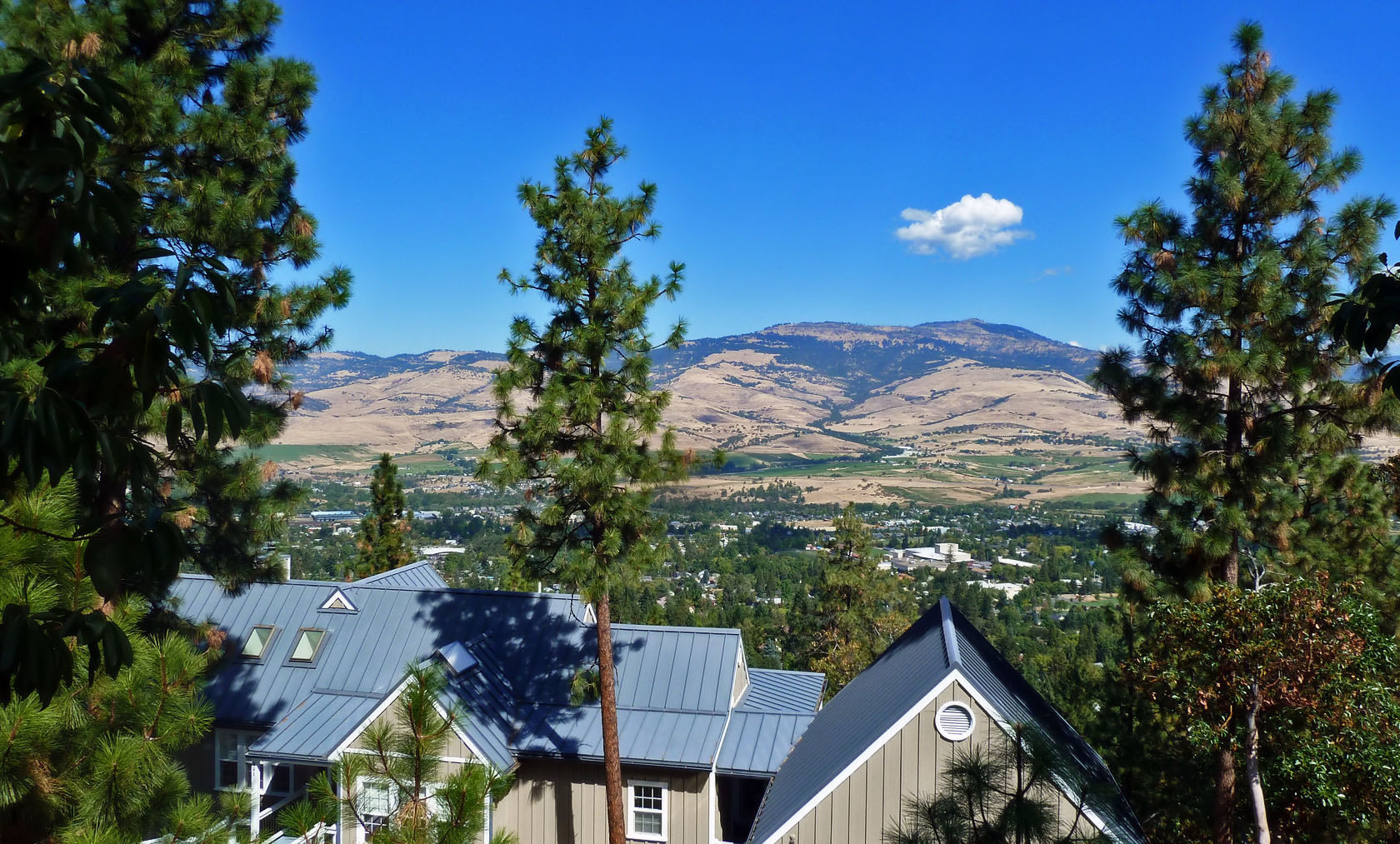
The view of Grizzly Peak in September from Waterline Road… Not bad…

The Siskiyous

ashland oregon

I went to a party at a friend’s house last weekend. The rain stopped an hour or two before, and things were looking really pretty from his deck.

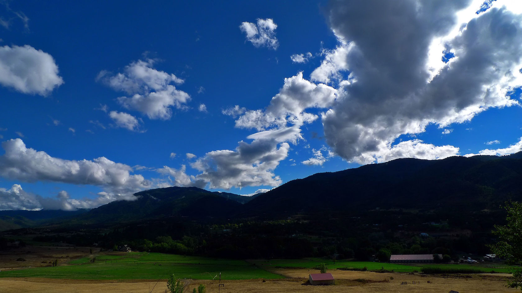
This is basically the reverse view of yesterday’s photo which showed the Cascades from the Siskiyous. This is the Siskiyou Mountain Range from the base of the Cascades.

A seat with a view

white rabbit trail ashland oregon

I took today’s photo last week on White Rabbit Trail, less than half a mile from Park Street.

Ashland soccer

ashland oregon middle school

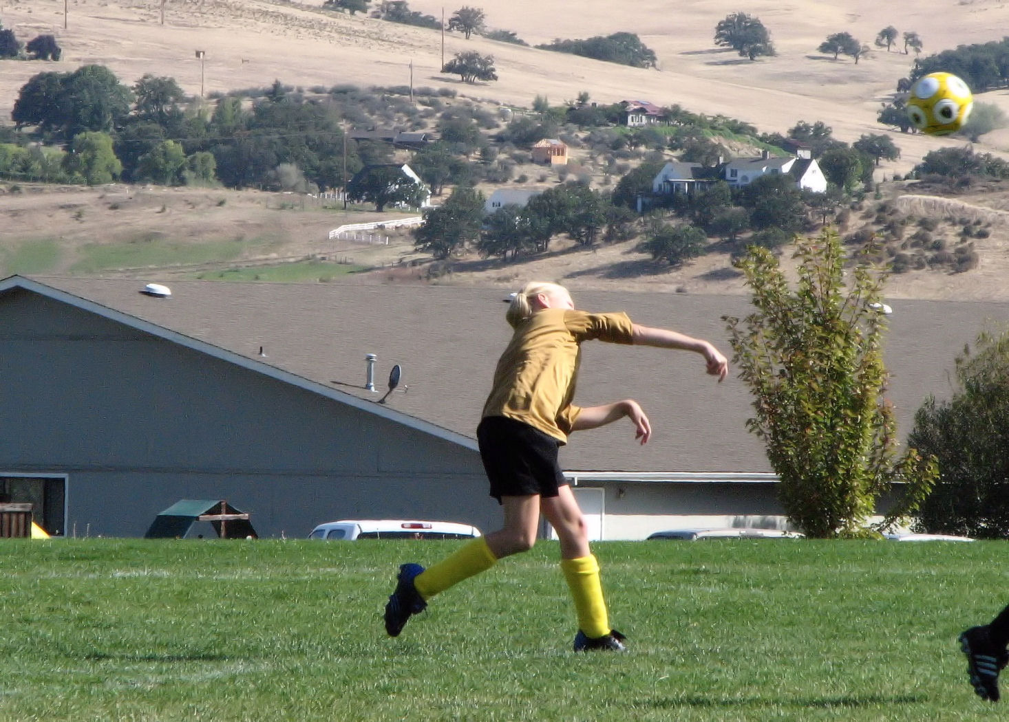
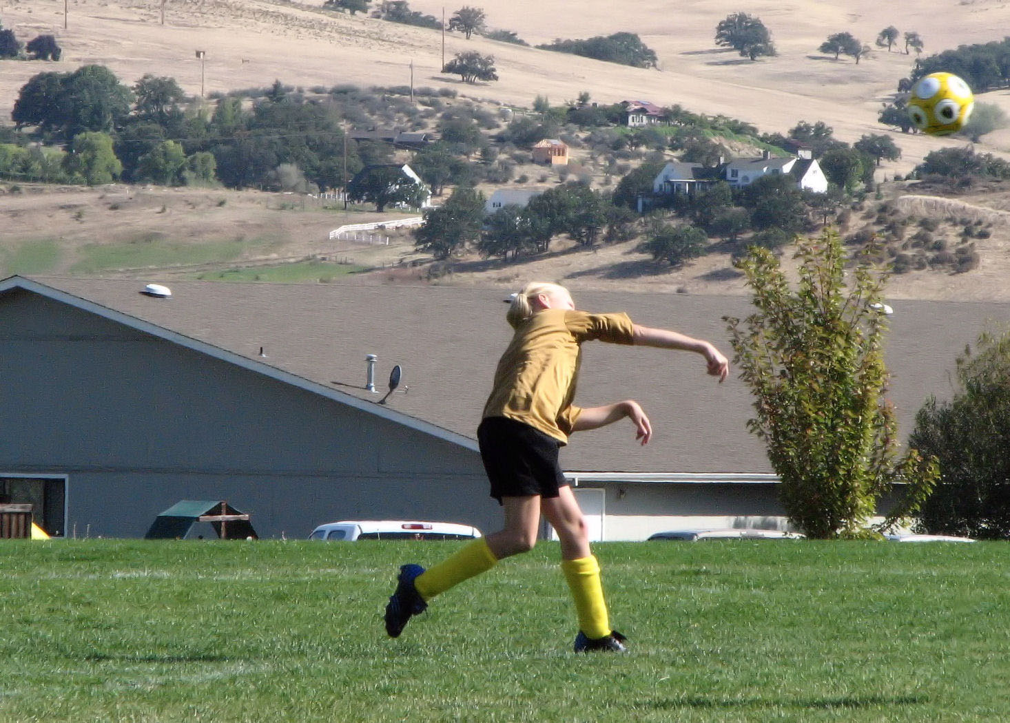
Today’s photo is from the archives. I took this pic of Ellie back in 2007. However, I didn’t like it because it had too much noise. With Corel PaintShop Photo Pro X3 I easily removed most of the noise so now I’m more happy with the picture.

With Adobe Photoshop CS5 Extended I then took the other girl’s foot out of the picture and came up with a slightly better result. To remove an object from an image, after outlining the thing you want removed, select Edit from the menu, and then Fill and Content Aware.

adobe photo shop removal

City of Ashland – Creek to Crest Trail Route (map)

siskiyou mountain range

There are many paths to pick from when you get outside of Ashland’s main streets. I like to try a different one each time. It can get a little crazy if you are pressed for time or don’t want to get lost so take this along if that is your situation. Click on the image for a much larger and detailed version (which you can print) of this free map of places to hike, bike, and run in the mountains around Ashland. Keep heading south (from Four Corners) if you want to go to the top of Mt. Ashland.

America’s 25 Best Towns

hyatt lake reservoir

Outside Magazine put Ashland in its “America’s 25 Best Towns” and gave it the “Best for Trail Running” award. I’m not a trail runner myself, but I do like to hike and mountain bike Ashland’s trails. Tomorrow I’ll post a good map of Ashland’s trails.

Siskiyou Boulevard before the dawn

before dawn night photography

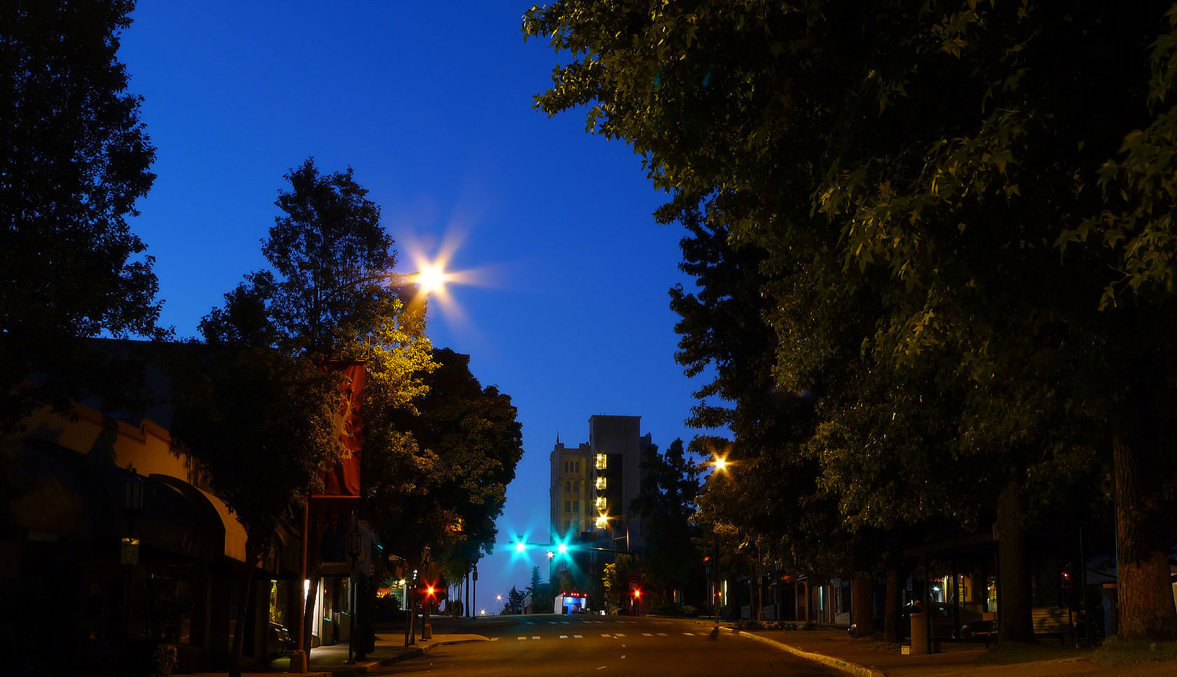
Just another photo from my pre-dawn photos I took a few weeks back. This one is from the plaza in downtown Ashland looking up Siskiyou Blvd. towards the Ashland Springs Hotel which you can see in the distance.