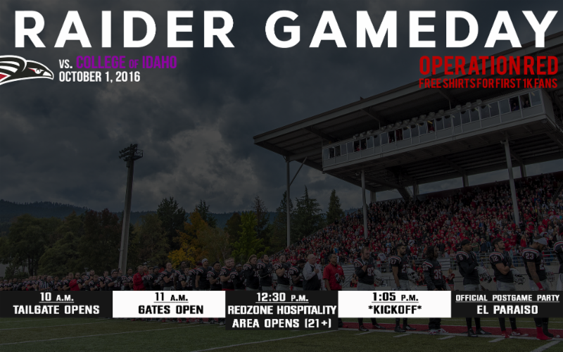
Gameday!

New SOU football locker room
@SOURaiders @SOU_Football

| The above will search Ashland Daily Photo. |
New SOU football locker room
@SOURaiders @SOU_Football

Raider Stadium
@SOURaiders @SOU_Football @SOUAshland
A new 2010 Men’s XC National Champions banner has gone up in Raider Stadium. The 2014 Football National Champions banner has been up for a few weeks. Both teams are in contention for 2016 national championships as well.
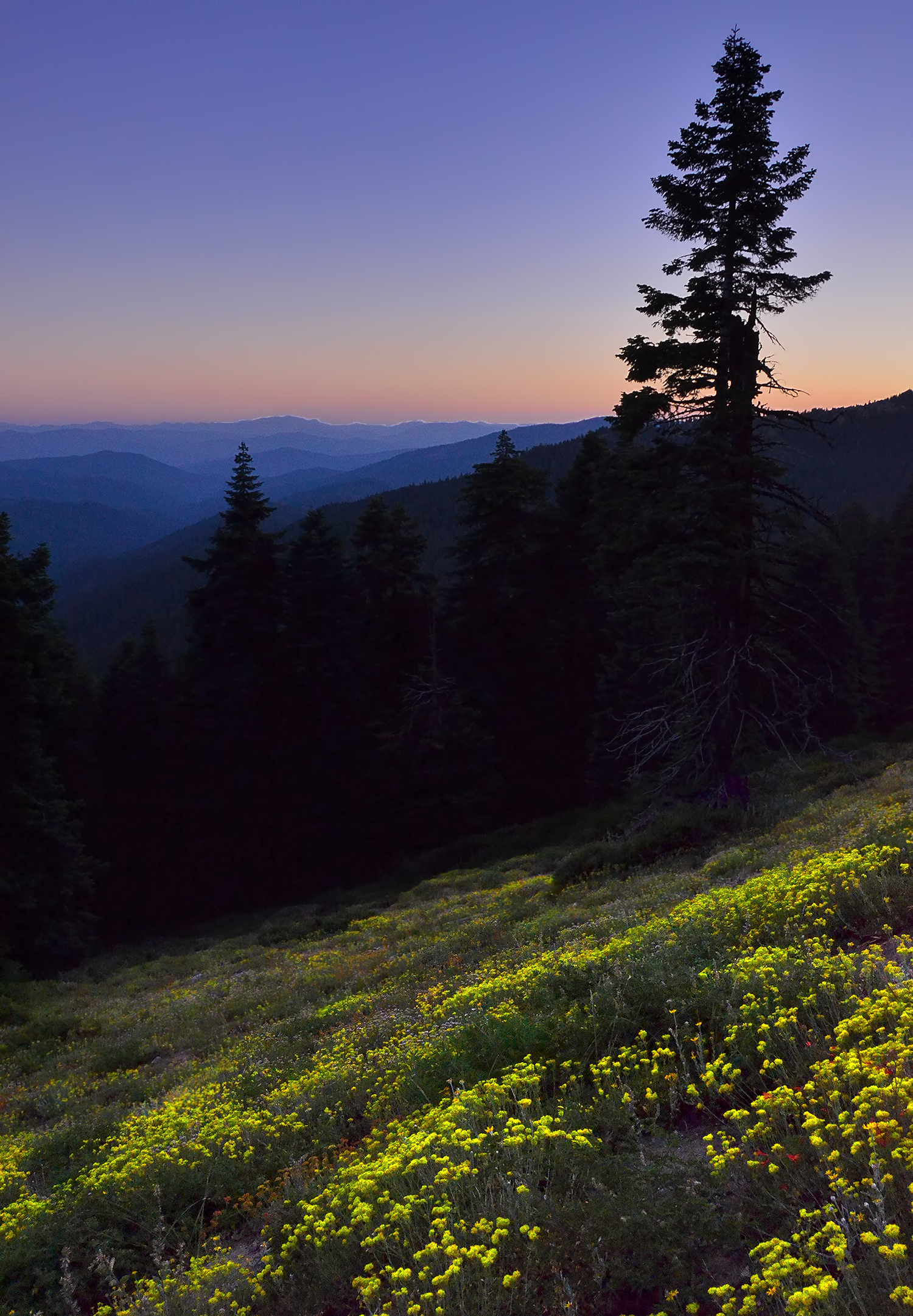
Mt. Ashland wildflowers
Today’s photo is from a little over five years ago. This was in my pre-RAW days or it could be better.

After my first attempt ended in failure, I made it to Muir Creek Falls yesterday. No wonder there aren’t any photos or discussions of this place on the internet; the “easy” Muir Creek Trail is awful in its current condition. Parts of Muir Creek Trail are overgrown, parts have trees (many trees!) blocking the trail, and I completely lost the trail a few times.
After finally reaching the falls I decided not to go back the way I came. Instead I crossed the falls, via a fallen tree, to the other side. There is a house and barn on the other side. I became a bit freaked out, in part by an unrealized fear of some guy coming out of the house in the middle of nowhere and in part by the wild cows on the property. Instead of crossing through the property to get to road NF-2734 I opted to tough it out through the forest. Big mistake. I ran into more cows in the forest. Cows in the forest are scary. They never charged me, but they cursed me with their eyes, and I headed in the opposite direction. The forest terrain was very steep. I took a nasty fall at one point, did more bushwhacking than I would have liked, and ended up with blood trickling down hands, arms, and a leg.
I’m done visiting Muir Creek, but should you be so inclined, I have a few recommendations:
1) If taking Muir Creek Trail, be sure to have long pants on. Also, be sure you have the local map downloaded into your phone beforehand for offline use. GPS works out there, but there is no internet. Put the trail into your phone so you can find it when it disappears. Also, waterproof boots are a good idea as I ended up walking through 2-5″ of water several times.
2) Don’t try to get to Muir Creek from the east. The terrain is awful.
3) A possible easy route is via Road NF-2734. You’ll have to walk through the aforementioned property. I have no idea how often someone stays there or if they are friendly.

Took a one-day trip out to our friends’ ranch this past Saturday. Always beautiful, always a good time.

Almost five months have passed since I began this story. I suppose I should write down a few more details before they fade from my mind.
I could not find a trail down to the water and the falls so I forged my own. It got a bit scary at times as it was fairly steep. I made it down with only a minor fall or two. I walked along Muir Creek for a while, realizing that I wasn’t going to be able to reach the waterfall without crossing the river. So I gave up on that idea and instead headed south along the east bank away from Muir Creek Falls. The views were beautiful without falls. I walked carefully as I was sinking in the snow, rather deeply, even with snowshoes. There was so much snow I was worried that it wasn’t all on solid ground, and I could plunge through the snow and into the water.
After today’s photo I turned around and began to retrace my steps. Walking was much easier stepping into my old prints than creating new ones as I’d only sink an inch or two with each step instead of many inches on my way down. I lost my fear and increased my pace. That was when my prior anxiety was realized. Although I stepped into my prior steps, this second time I went straight through the snow (more than four feet of snow) and into the water. My adrenaline kicked in like never before. It seemed to know that I was on my own, and if things didn’t quickly get better rather than worse I could be a dead man.
I think one of my snowshoes caught some wood at the bottom while my other was in water (with my foot still in it). My head and shoulders were above the snow (I’m 6’4″), my feet were in water, and my body was in snow. I couldn’t see my situation below the snow. I had no branches or other items on the surface to pull myself up with. As I struggled, snow around me disappeared into the water below. That wasn’t good as without the snow around me I had no way of getting out. Details are foggy at this point as everything happened so fast, but I think I was able to get one of my poles up and out and onto something more solid than the snow immediately around me. My right snowshoe on a log or branch or something also gave me a bit of leverage. Somehow I got myself up and out of there.
The rest of the walk back up the mountain and to my car was uneventful. My socks, boots, and pants below my knees were frozen solid as they had gone under water before reemerging into the below freezing temperatures.

Lake of the Woods (June 2009)

Wild and Scenic Rogue River
Throwing it back to last summer when we spent four days and three nights on the Rogue River.

Red Queen Trail (approaching the intersection with Road 2060, AKA Ashland Loop Road)
There’s a new trail in town. The Red Queen has been built over the past few weeks and is now open and ready for foot traffic. The trail runs from a couple intersections with Bandersnatch or Jub Jub up to the intersection of Caterpillar crossing the Ashland Loop Road. There aren’t any significant view or overlook areas, but it is a nice trail in the watershed without any bikes.
One way to get there is to park near the water tank where Terrace and Ashland Loop intersect. Just past the water tank on Ashland Loop an unmarked trail begins going uphill. This turns into Red Queen (and is marked) for a bit, before becoming Bandersnatch, and then reverting to Red Queen (again marked as Red Queen). If you are on Caterpillar and want to go down Red Queen look for the unmarked trails heading toward Reeder Reservoir on the left side of Ashland Loop as you are heading down. The left one is for bikes (Jabberwocky) and the right one (not marked as Red Queen but with an indication that is only for walkers and horses) is Red Queen.

Red Queen flower
