View from my computer chair

Now that the leaves are gone from my Japanese Maple the sky must make up the difference in lost color.

| The above will search Ashland Daily Photo. |
Now that the leaves are gone from my Japanese Maple the sky must make up the difference in lost color.

I went for a walk yesterday on Ridge Road and took a number of photos from there which I will share with you in the coming weeks. This one is of Mt. Ashland before its first real snow of the season. Now that I think of it, this may be the first picture of Mt. Ashland I’ve posted here. I’ll have to get on the ball and make up for lost time.

As each day gets a little darker and colder than the last this time of year it is fun to dip into the archives and remember what it’s like to go fishing in the nearby Rogue River in August.

I took this picture with a cruddy little camera out an airplane window a few years back at about 7 a.m. I was on my way to Mexico. Ashland is right below me. I had just taken off from the Medford airport and was heading south. The tracks my flight were making can be seen most mornings in Ashland. The higher mountain sticking through the clouds is Mt. McLaughlin, a mountain I climbed the prior fall.

A view from Ashland Middle School… This is the track with Grizzly Peak in the background. I took this picture on the way in to see a volleyball game. On the way out I took basically the same shot. The other photograph looks very different, however, as the sun was setting, the clouds were mostly gone, and the lighting and colors were all changed. I’ll post that picture sometime in the future.

I woke up and looked out my window last week to the above view. After snapping this picture I hopped in the shower. When I got out of the shower the fog had risen another few hundred feet and nothing could be seen, but fog, until several hours later.
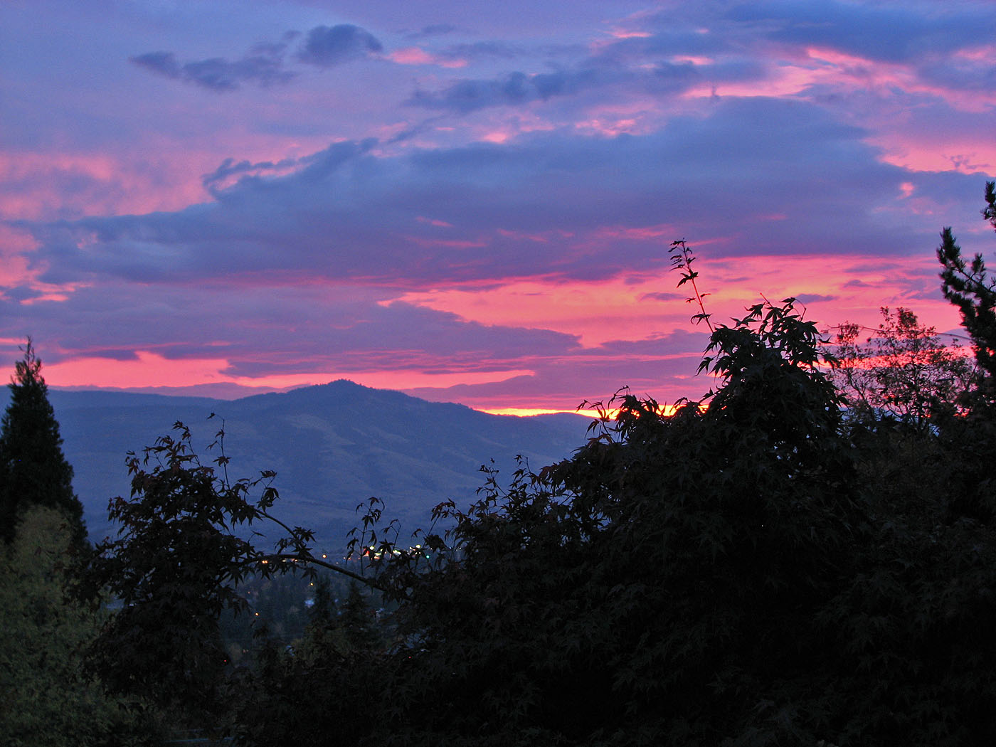
After a number of warm days in a row, this was the sunrise on the last of those warm days, about 24 hours before the rain hit and the temperatures turned much colder.

A couple of Saturdays ago we were having a most unusual cloud day that include much sunshine as well. I went up on the roof and took a few pictures. This is one of them. More to come from the roof in the future.
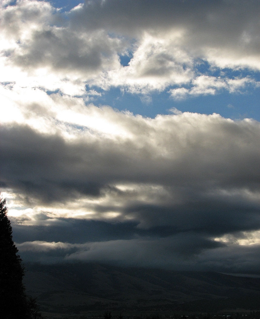
Photo taken in August 2008
Ashland’s unique location, between two mountain ranges, provides for some interesting shadows and cloud formations.

My 10-year old daughter is in an after school photography class. For the next few days I’ll showcase some of her work. She took the above picture yesterday on her class field trip to Crater Lake, the deepest lake in the U.S.A. and ninth deepest in the world. Crater Lake is the third deepest lake in the world and deepest in the Western Hemisphere if the average depth is used as the measuring criteria.
I was hoping that there would be snow along the rim, but, as you can see, it hasn’t stuck yet. Later in the day it started snowing rather heavily, and they made their exit while they still could.
Crater Lake is northeast of Ashland in Southern Oregon. The island you see in the middle is known as Wizard Island.