| The above will search Ashland Daily Photo. |
This past weekend, after feeling great after an hour-long workout at the Ashland YMCA, I decided to snowshoe up the backside of Grizzly Peak. Normally you can drive to the Grizzly Peak trail head but not this time of year. While there is no snow currently on the Ashland side of Grizzly Peak, there is plenty of snow on the other side.
I parked on Shale City Road near road number 38-2E-9.2. From there the snow was several feet deep so I had no choice but to start. I took today’s photo near that location. A mile later and there were no more human tracks in the snow. From the three-way junction it was just me on the snow, which felt great (like I was Ernest Shackleton or something) but at the same time it was a little scary. There were lots of animal tracks, and it was a Sunday afternoon so I figured it would be next weekend, at the earliest, before anyone found my carcass should I break a leg or should an animal decide I needed to be taken out.
On top of this, fatigue started to set in so I turned around once I got to the parking lot rather than go another 2+ miles to the top of Grizzly Peak. Next time I won’t do a workout before heading for the top, and I should be able to manage the nine-mile, round-trip hike. Nine miles in snow shoes, when you are sinking several inches with each step and gaining elevation half the time as well, is not nearly as easy as walking around town for nine miles.
I went on my third snowshoeing adventure yesterday. I parked at Buck Prairie, snowshoed Peabody’s Wayback, and the location above is at or near Peabody’s Lookout. I never saw a sign that said Peabody’s Lookout so I may not have actually made it there. The trail ran out at this point so I headed straight down the mountain and ended up between the restroom and Natasha’s View on the map so I figure I was close to Peabody’s Lookout.
In the distance in today’s panorama photo you can see a portion of snowed over Howard Prairie Lake and beyond that Mt. McLoughlin on the left and Brown Mountain on the right. Next time I’ll have to bring my 70-300mm lens instead of my 14-24mm lens for a much more close up view of these beauties.
Like most of the West Coast of the USA over the past week, Ashland has been freezing–literally. Snow hasn’t fallen for about a week, but with lows in the teens every night since and highs around 30 degrees, not much has melted. Today we may finally hit 40 degrees, and we may even hit 50 at some point this weekend so there is hope that this state of affairs won’t last forever.
I tried something a little different for today’s photo. I wanted to do a photomerge of I-5 with Ashland in the background with a twist. Normally, I photomerge by taking a series of photos starting with the left and moving right and then stitch them together in Photoshop. However, with most of the traffic coming from the right (heading south) I thought, “what if I find an interesting vehicle and capture it in several of the images?” When I saw the yellow school bus coming I started firing away from right to left. Hence it (and the cars right next to it) show up multiple times in the final photomerged panorama.
I headed up Dead Indian Memorial Road to Buck Prairie yesterday. The clouds were thick, but for a few minutes on the trail, there was a bit of blue when I took today’s photo. This panorama is actually 9 vertical pictures stitched together into a horizontal landscape. I was trying out my new snowshoes, but most people out yesterday were on cross country skis as you can see from the tracks in the snow.
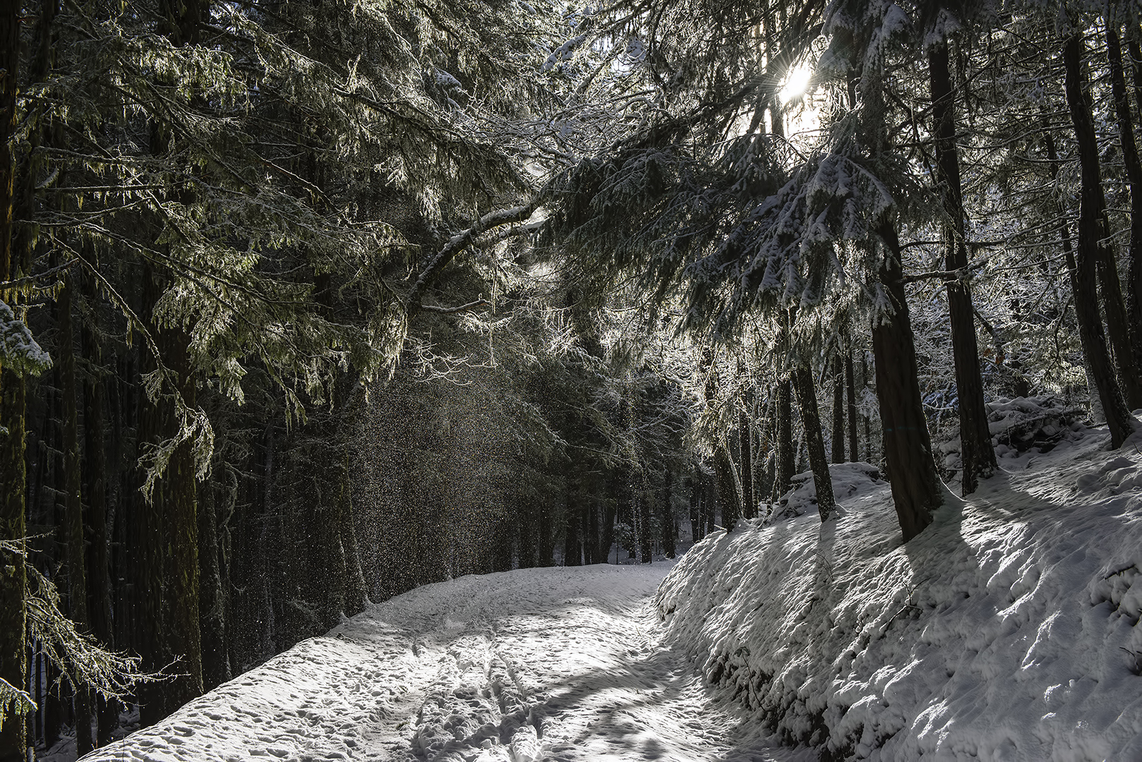
We drove up to the White Rabbit trailhead parking lot a couple days ago to hike to the end of the Lamb Mine Cave off of Ashland Loop Road. There was lots of snow and I was wishing I had brought along my snow shoes that I received for Christmas. The sun came out at times and, with it, large quantities of snow fell from the trees making a lovely, winter landscape.