Ashland Daily Photo
Ashland Daily Photo - A picture a day from beautiful Ashland, Southern Oregon USA in the Rogue Valley
The above will search Ashland Daily Photo.


Archive for places

Elizabethan Theatre (OSF) in a sunset

sunset over the oregon shakespeare festival

Elizabethan stage at OSF enjoying the sunset

Even though I live in a “theater town” I must admit that I am easily bored by play going. Tourists come to Ashland and watch five or more plays on their mini-vacations. I have a tough time making it through a single performance a year. Such was the case a couple weeks ago when we went to see “The Pirates of Penzance.” Everyone in the audience seemed to love this musical. After the first few minutes I was longing to be anywhere else.

The best part, by far, of this experience for me was watching the sunset behind the Elizabethan Stage. The stars then came out, and the Big Dipper was perfectly framed (from my seat) by the opening in the theater.

Wrapping up the Wagner Butte Hike week

mt mcloughlin wagner butte

Mt. McLoughlin and Ashland from Wagner Butte

bee on a wildflower

Wildflowers attract bees as well as butterflies

hiking in the rogue valley

Wagner Butte Trail

As I mentioned before, I didn’t bring enough water. I had about 6 oz. left for the way down and nothing left after a mile or two of the five plus miles down. I was a bit worried that I may start cramping up and not be able to make it back to my car so I didn’t stop to take many photos on the way down.

This was unfortunate as the light was much better as you can see in the above photo, one of the few I took on the way down. Instead of a bright sun overhead, the sun was frequently obscured by clouds and/or at a much more interesting angle for photography. Next time I climb Wagner Butte I’ll either head up in the early morning, while it is still dark with a headlamp, or bring a headlamp and leave later in the day so as to come down during the sunset.

Tons of bugs attack me on Wagner Butte - Mt. Ashland in the background

Also mentioned in a prior post, there were thousands of bugs at the top of Wagner Butte circling around what appeared to be a rusted kitchen sink. I didn’t get close enough to inspect so as to avoid the bugs. Instead, I went around the edges of the butte taking photos and hoping not to catch the bugs’ attention. That worked for about a minute and then they spotted me. Immediately I was swarmed by a zillion bugs. I fired off the above photo (all of the little black things in it are flying insects), and quickly got off the butte. They left me alone at that point. Thank goodness as I didn’t want to have to share the rest of my walk back down the mountain with them.

Wagner Butte Hiking (5 of 7)

mount ashland hike wagner butte pilot rock

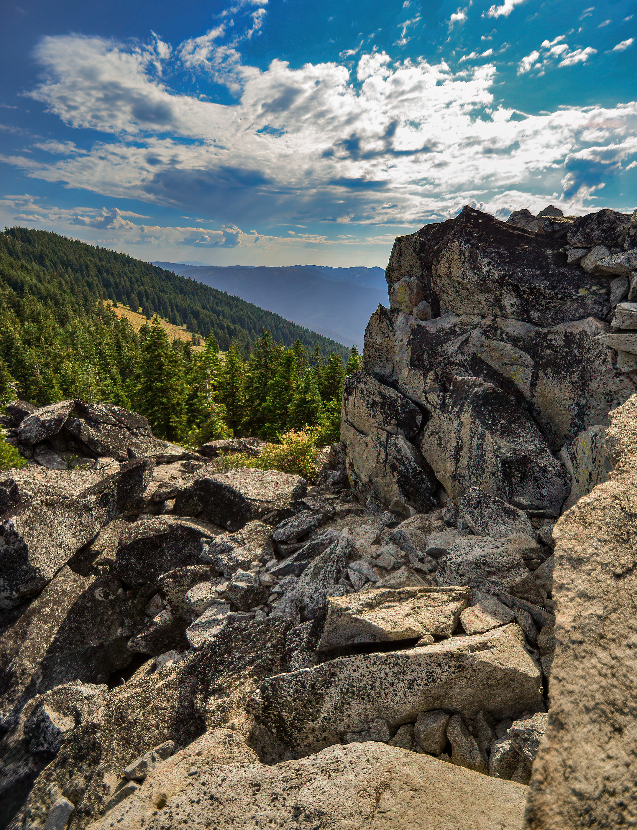
View of Pilot Rock and Mount Ashland from the top of Wagner Butte

The top photo today is about as wide a picture as you can get from the top of Wagner Butte. I had my ultra wide-angle lens on my Nikon D7000 and shot this at 10mm. Pilot Rock and Mt. Ashland look very far away, but they wouldn’t if I was shooting at, say, 50mm or even 24mm.

blue skies with clouds and trees

Most days in Ashland’s summer feature no clouds at all. The sky usually isn’t this blue either as forest fires in Northern California or Southern Oregon tend to give the sky a gray haze. However, I got pretty lucky on this day to have bluer than normal skies and some clouds as an added bonus. About 3 hours after I took the above photo we had a brief thunder and lightning storm.

wagner butte rogue valley southern oregon

Wagner Butte, Jackson County, Oregon

The foundation for the lookout that was here until the 1970s is all that remains on Wagner Butte. There looked to be a rusted sink or something too. I didn’t get too close to it as there was a tornado of bugs swirling above.

Medford is in this direction, a bit to the right.

Wagner Butte Hike (4 of 7)

As a hiker approaches the top of Wagner Butte the scene changes again. Instead of forest, desert, wildflower-covered field, or grassy meadow there are a few rocks to climb (not difficult) to get to the top.

I have never seen a dandelion seed head this big before. I should have put a finger in the photo to give the viewer a point of reference. Usually they are smaller than a golf ball, but this one (and the others in the field on the Wagner Butte trail) was bigger than my fist.

The sign on the top of Wagner Butte has been there for probably a couple decades now. The elements have not been kind, and it is now barely readable.

Wagner Butte (3 of 7)

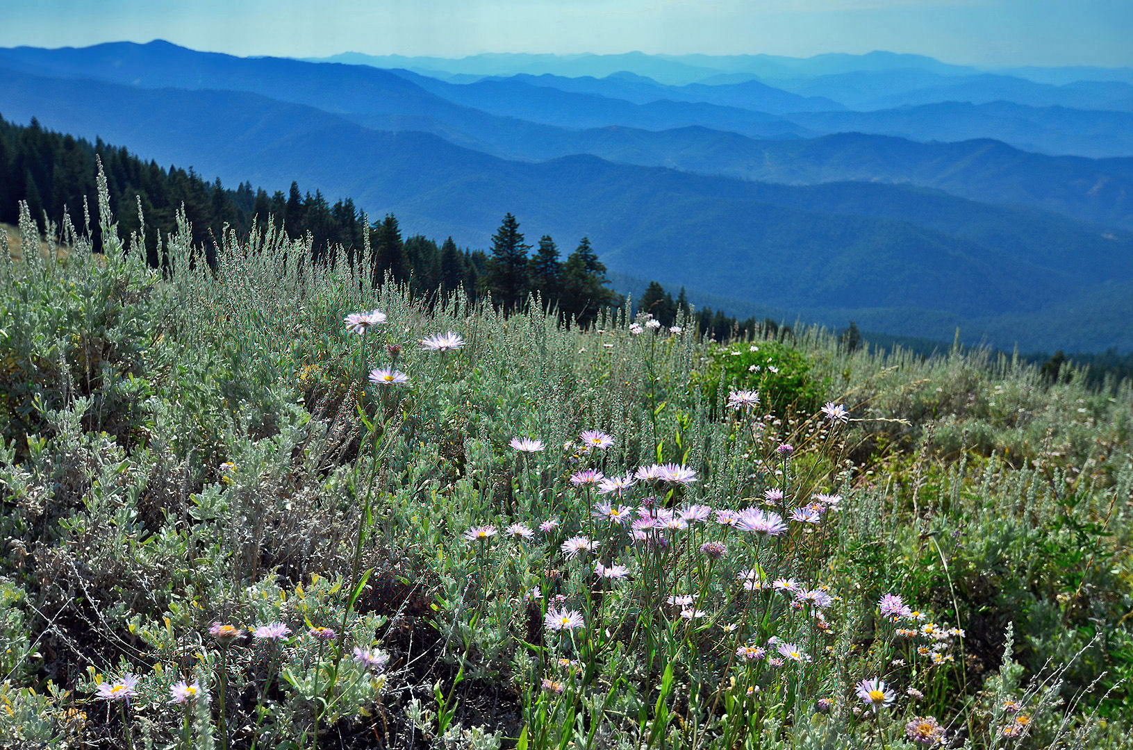
Looking west (and maybe a bit south) from the western slopes of Wagner Butte yields the above view which is probably Little Applegate in the foreground. I’m not sure what mountain ranges go beyond that.

As I mentioned yesterday, sometimes the landscape can get a bit desert like; however, frequently there are wildflowers right in the middle of these scenes. I wonder how different this view would be in the morning (or a month or two earlier). I took this photo in the late afternoon in early September.

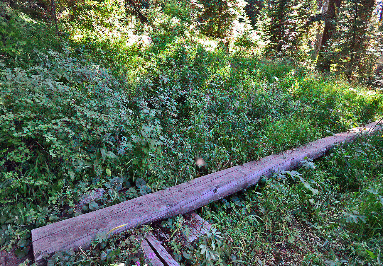
Along the Wagner Butte trail you cross a dozen or so streams. This late in the year they were mostly a trickle of water, but in spring, or while it is raining, I imagine they can be somewhat tricky to cross. This one was probably twenty feet across of mud in early September so crossing over via the log helped to keep shoes from becoming a mess even without a small river coming down the mountainside.

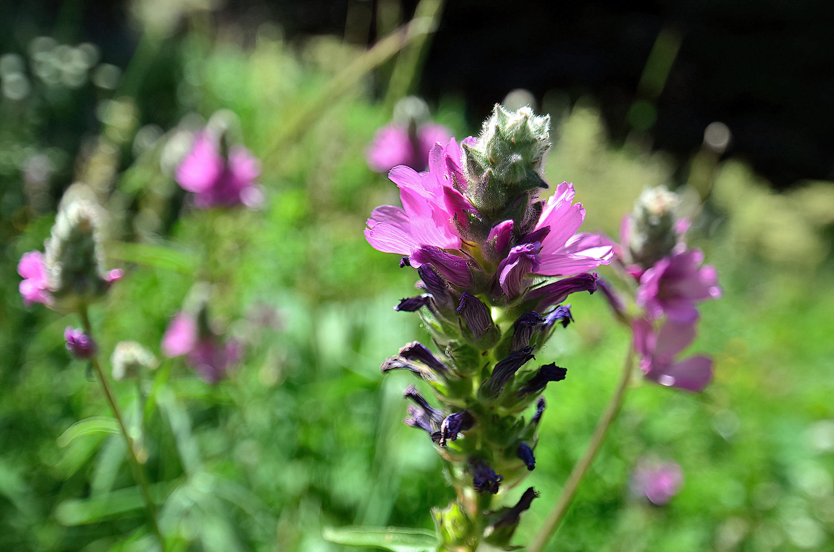
My new 10-24mm lens can do some pretty cool things in the macro photography world, nice bokeh too. I was surprised how close I could get and still focus. The specs said the minimum focus distance was 9.5 inches, but I was less than that far away on this photo (and even closer on some others I’ll show you in the next few days). My other lens really does require a distance between the end of the lens and the focus subject of at least a foot and a half.

This flower probably looked much better a week or two earlier in the year. I’d like to do this hike in, say, July and then again in September of the same year to compare the wildflowers. Do some last all summer long or are there totally different wildflowers blossoming and dying as the summer progresses?

Wagner Butte Hike (part 2 of 7)

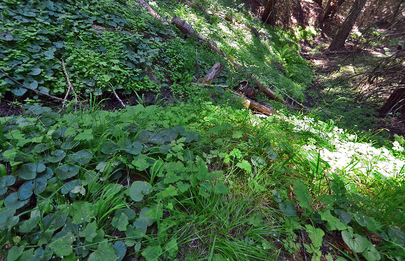
I don’t believe I’ve ever been on a trail with so many varieties of surroundings as the Wagner Butte Trail. You can be under a forest canopy one minute, have lush vegetation under foot the next, follow it up walking through a meadow of wildflowers, and then be in a desert-like atmosphere soon thereafter. The views change constantly as well. Change is the only constant throughout.

Wagner Butte Hike week

Sunday I hiked the Wagner Butte Trail for the fourth time. This was only the second time I made it to the top. My first two attempts were with my kids when they were little so we only went for a mile or two. The entire hike is over 10 miles and includes climbing (and then descending) over 2,200 feet.

I brought along my new lens (Tamron SP AF 10-24mm f/3.5-4.5 DI II Lens) so I have far more than a week’s worth of photography for you. I’ll post several images a day and save some for later. For today, I’ll just explain how to get there (and post some rather uninteresting images that may help in orientation) as most guide books and internet sites give incomplete and/or erroneous directions.
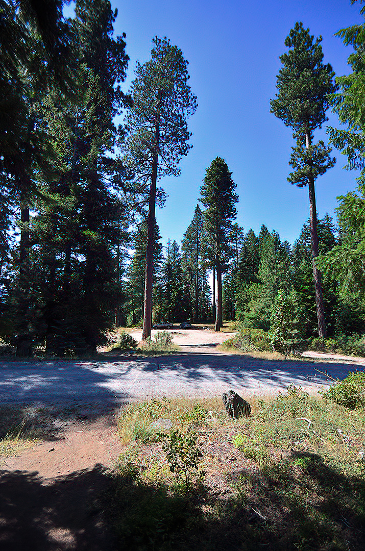
Wagner Butte Trail begins southwest of Ashland. However, to get there, you need to go through Talent (to the northwest of Ashland). You can also get there from the top of Mt. Ashland, but most people are coming from other places in the Rogue Valley, making the Talent route easier.

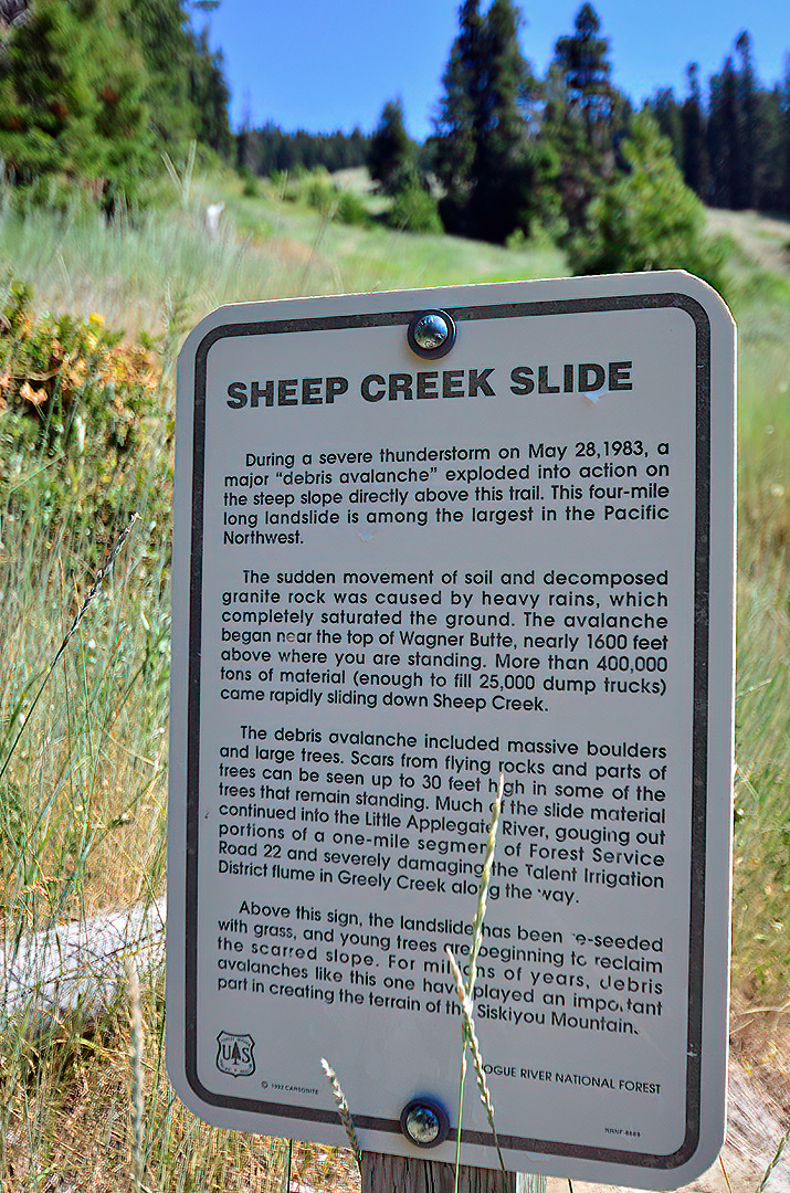
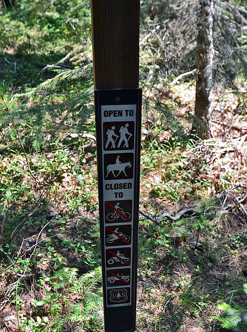
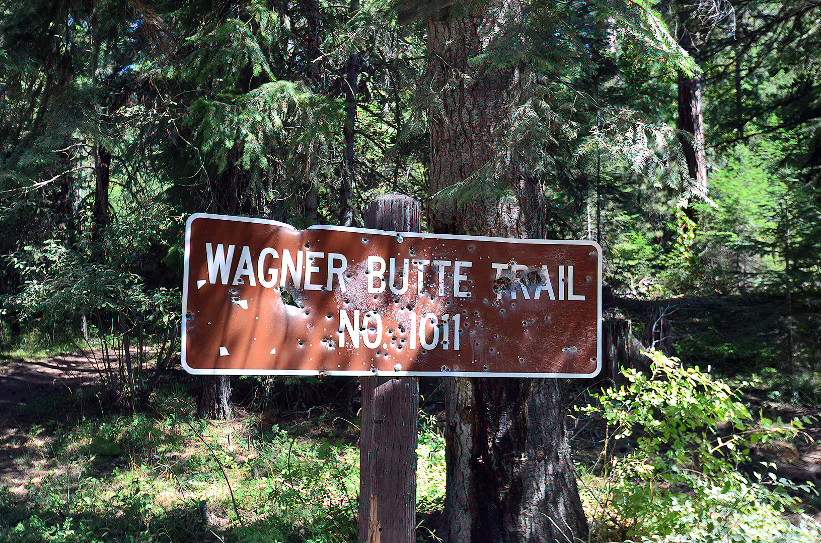
From Highway 99 (Pacific Highway) turn onto Rapp Road which will eventually turn into Wagner Creek Road. Follow Wagner Creek Road all the way out. When Wagner Creek Road turns into a dirt road, at a point crossing the creek, check your odometer. You will find the trail head 6.1 miles from this point. Continue on Wagner Creek Rd. It forks several times. Stay on the most developed road (usually a left at the forks). At mile 4 since you started on the dirt road you will find a cattle guard. Cross it and go left at the fork immediately in front of you. Only two more miles until the trail begins. At 6.1 miles you will see the sign in the first photo if you are traveling slowly enough and look to your left. Pull into the parking lot on your right, pictured above.
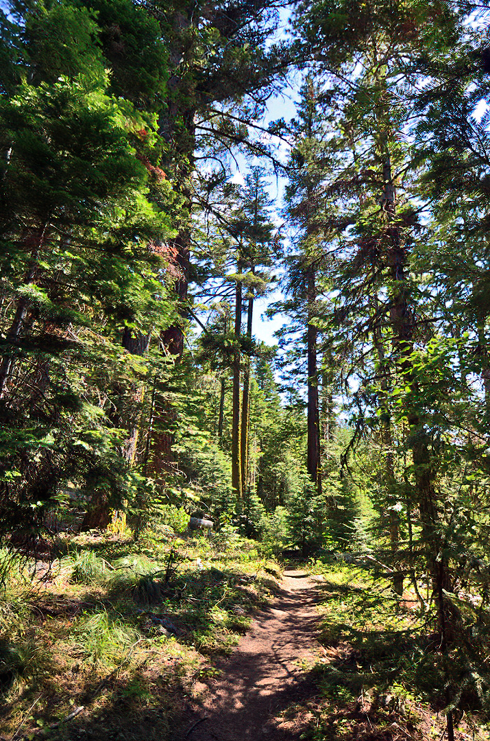

The most difficult part of Wagner Butte Trail is the first (and last) mile as it is fairly steep.

Bring lots of water. I brought 40 oz., and it wasn’t nearly enough. I could have used 80 ounces, but it was a warm/hot day. If the weather forecast in Ashland/Medford is for 80 degrees or more, bring at least 2 liters of water per person. Note that it won’t be as hot as Ashland or Medford at this altitude, but it will feel warmer than Ashland or Medford on the way up since you will be climbing. Bring a jacket for the way down if the forecast is for 70 degrees or less in Ashland/Medford.

The sun goes down

northern california mountain ranges

Northern California mountain ranges from Mt. Ashland in Southern Oregon

Another photo today from Mt. Ashland as the sun was beginning to set last week. I’d really like to head back up there for a sunrise before the snow makes it impossible. Mt. Shasta didn’t look so great at sundown, but I think it could look great from Mt. Ashland at daybreak.

Mt. Ashland sunset

rogue valley dusk

Sunset facing Medford from the top of Mt. Ashland

The lights in the distance are in Medford. I took this photo from the top of Mt. Ashland in late August. There aren’t many days in the year when you can get to the top of Mt. Ashland in a car (because of snow).

For a reverse view (from Medford during the day), a couple months earlier, check out this pic.

Paulina Plunge

waterfall swim bend oregon

Ryan jumping in a waterfall on the Paulina Plunge tour

As previously mentioned, we had a little summer adventure in and around Bend, Oregon a couple weeks ago. The “Paulina Plunge Tour” had us hop in a bus at the Sun River Resort, drive a while, and be given a bike to begin things off. We rode about 6 miles (90%+ downhill) during the day and stopped at three waterfalls. Today’s photo is of Ryan jumping in at the base of the first waterfall.