Grizzly Peak from Toothpick Trail
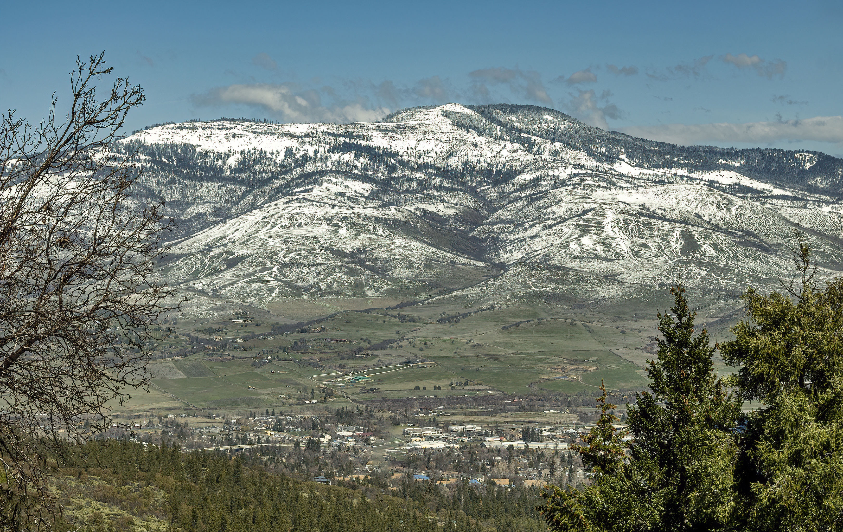
Grizzly Peak in the Southern Oregon Cascades from Toothpick Trail (March 2021)

| The above will search Ashland Daily Photo. |
Grizzly Peak in the Southern Oregon Cascades from Toothpick Trail (March 2021)
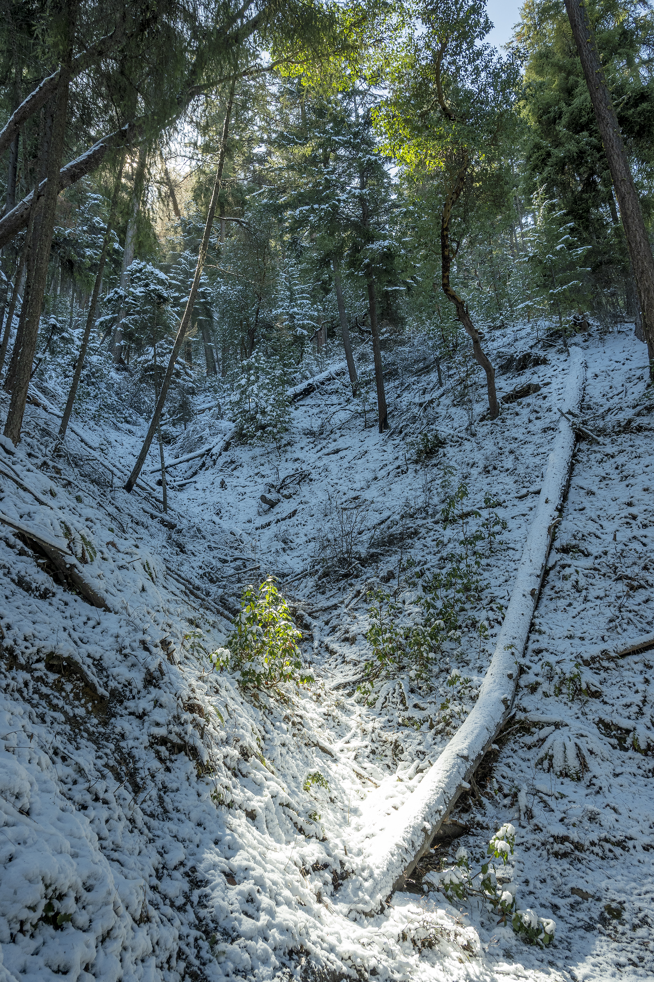
View from Toothpick Trail (Ashland, Oregon – March 16, 2021)
I think, before two days ago, that I had only walked Toothpick once (maybe 15 or 18 years ago). I’ve ridden it at least a hundred times. Anyway, a couple days ago most of the trail was covered in an inch or two of icy snow so riding wouldn’t have been a very smart option.

Soda Mountain Road to Hobart Bluff Trailhead in the snow (December 2020)
A few months ago we headed out to do the Hobart Bluff Trail. Alas, we never made it.

Southern Oregon – February 28, 2021
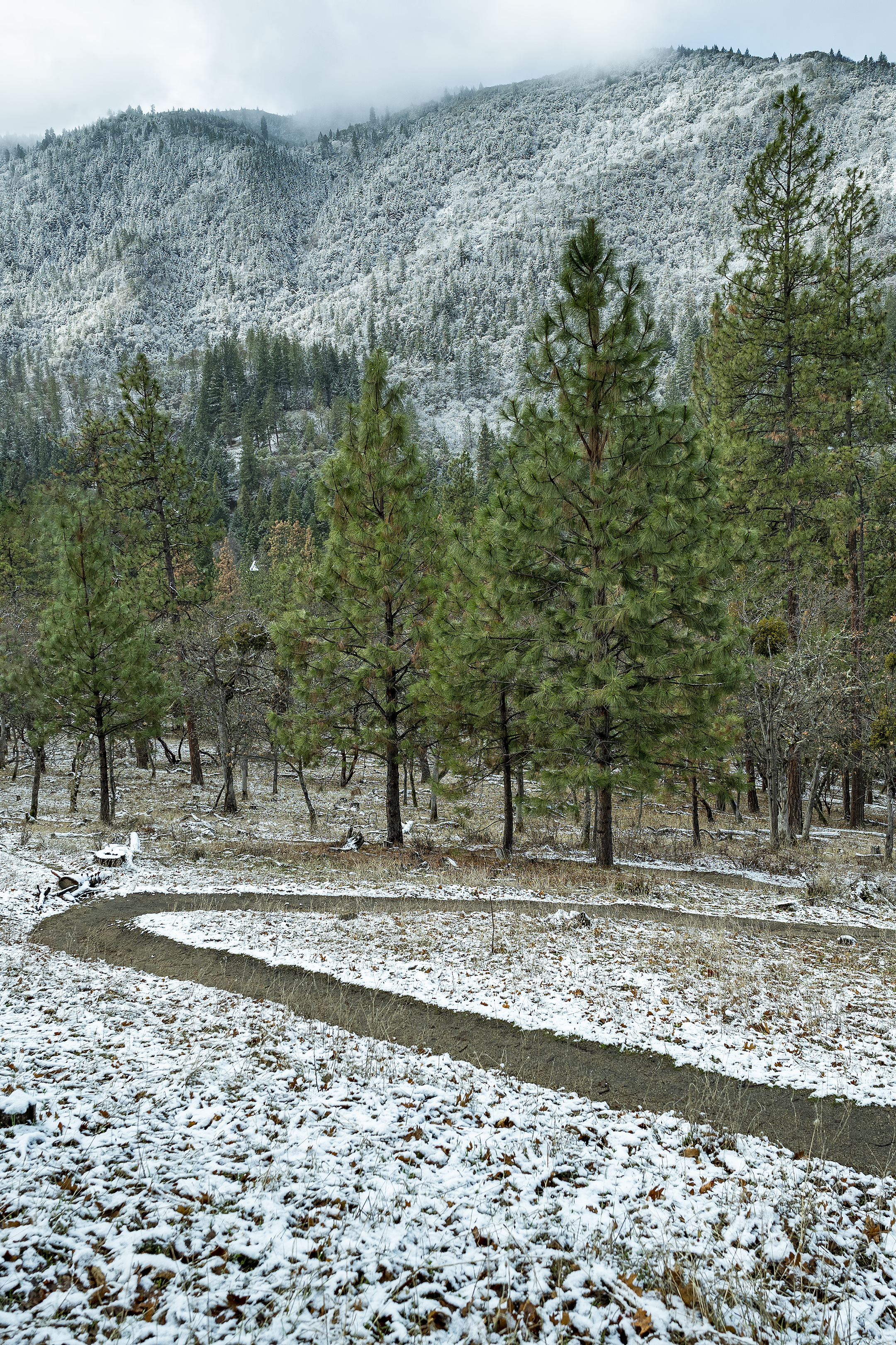
East Side Trail (Lithia Park – January 2021)

Castle Crags (California)
#hiking #nature #outdoors #photography #hikes #trails #CastleCrags #CAStateParks

Big Bear Lake in the Trinity Alps (California)
The hike to Big Bear Lake is not easy at about 10 miles round trip and 3,000 feet of elevation gain, but this is one of the more gorgeous lakes in the Trinity Alps. The drive from Ashland is about two hours to the trailhead.

Alder Springs Trail (Central Oregon)
Today’s photo comes from a hike we did this past Labor Day Weekend. We were in Bend. This trail was great, although getting there was not easy. Not recommended on a hot day or if you don’t have 4-wheel drive. Follow directions on the internet, not Google maps for finding the trail head. Google will send you down the wrong road and cost you at least an extra half an hour. Even when we got on the correct road, Google sent us down a couple of dead ends.
Back to why I’m sharing this photo… Ashland is on fire at the moment (later note: Almeda Fire as it came to be known), and this photo has a bit of that feel to it.

