Tonight in Lithia Park

Epic Ashland presents Dead Floyd (June 15, 2026)
Two weeks ago was Dead Floyd and tonight is Fruition.

Fruition in Ashland’s Lithia Park (June 29, 2026)

| The above will search Ashland Daily Photo. |
Epic Ashland presents Dead Floyd (June 15, 2026)
Two weeks ago was Dead Floyd and tonight is Fruition.
Fruition in Ashland’s Lithia Park (June 29, 2026)

Mural Fest III @ ScienceWorks (June 20, 2026) Ashland, Oregon
ScienceWorks hosted the third annual Mural Fest last weekend. It was a first for me.

2025 Lithia Park artist Broken Compass Bluegrass
We already had Dead Floyd this past week. Upcoming shows on Monday evenings at 6 p.m. include:
June 29 — Fruition + Lizzie No
July 20 — Passafire + Adam Gabriel & The Cavaliers
July 27 — Wolf Jett + Eight Dollar Mountain
August 10 — MarchFourth
August 17 — Diggin Dirt + The Rosalees
September 21 — Les Greene & The Swayzees
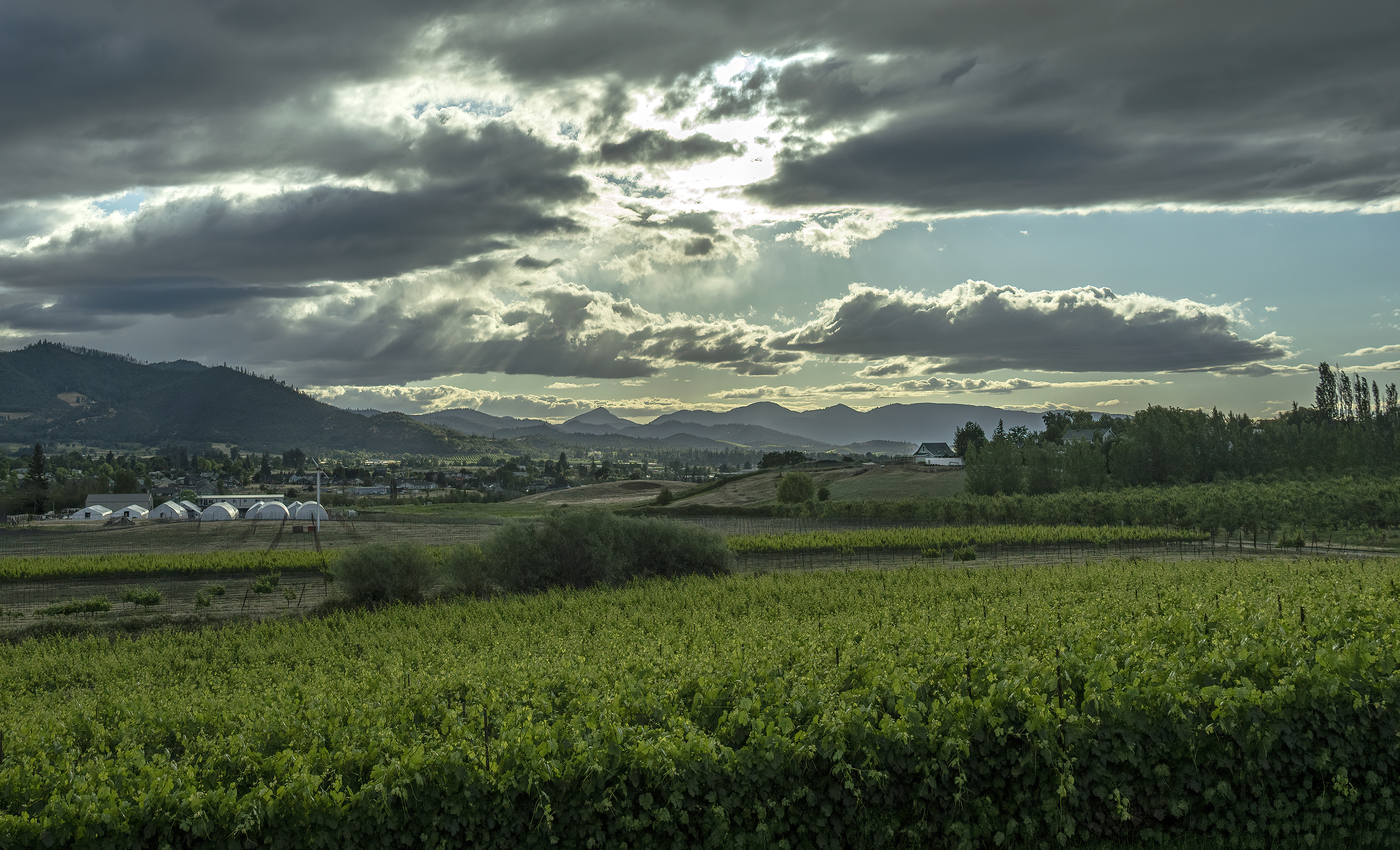
Looking west from Naumes Suncrest Winery (June 6, 2026)

Mt. McLoughlin from Siskiyou Peak (May 2026)
When we first arrived at the summit of Siskiyou Peak, Mt. McLoughlin was covered in clouds. Before we descended, 30 minutes or so later, we got a peek at the peak.

US Geological Survey Bench Mark from 1932
You’ve heard of the Siskiyous, but did you know there is an actual Siskiyou Peak? I didn’t, until I was standing on it a bit over a week ago.
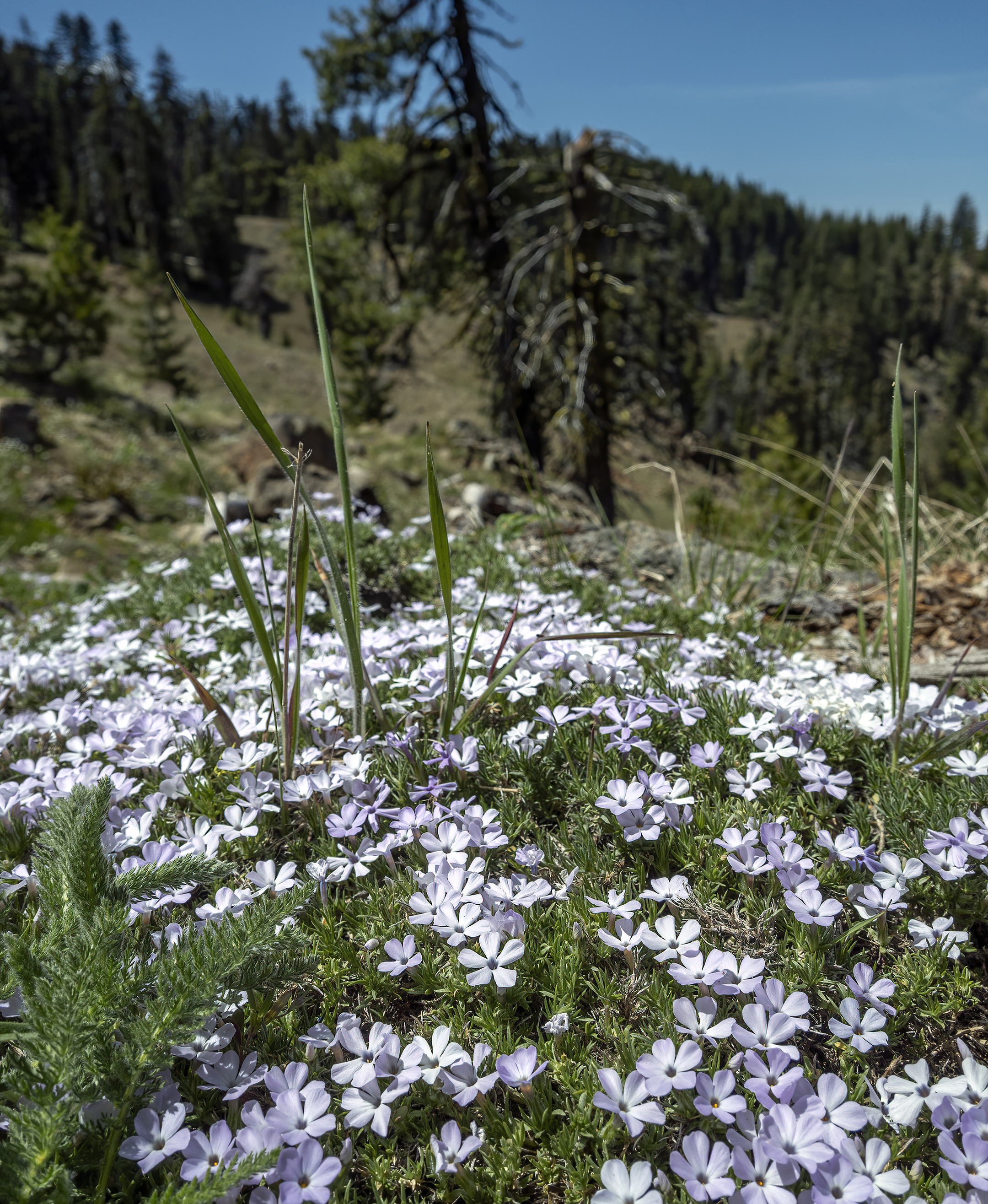
Spreading Phlox on the Big Red Mountain portion of the PCT (May 24, 2026)
I found the “Big Red Mountain” trail on AllTrails and headed to it without further research. Big mistake. Although the trail itself was great, getting there and home was a bit of a nightmare. There is a reason you will encounter no other hikers on this section of the PCT; it is remote! Getting there from the Mt. Ashland parking lot requires over 7 miles of driving on an unpaved road (Forest Road 20). That road is mostly OK, but there are portions that are not fun to drive in any vehicle. Another option is to take Wagner Creek Road to NF-22 to NF-20. That way is almost 14 miles on dirt and rocks. I intended to go home that way, but I didn’t research things in advance, and there was no cell service up there. I went the wrong way on NF-20, and ended up not taking the road to Wagner Creek Road. Instead, I ended up on the Siskiyou Summit Road, eventually getting dumped out in the Applegate somewhere, after 15+ miles on unpaved roads. Maybe 15+ miles doesn’t sound like that much, but my average speed was well under 20 miles per hour, and was frequently under 10 miles per hour. There were a few really nasty (rocky) parts. 4WD with a high clearance is highly recommended, but I didn’t have either.
Anywho, the wildflowers were the highlight of this hike. Sometimes the trail was literally lined with them on both sides. Most wildflower trails that I have been on have three or four different kinds of wildflowers. This one had more than 10 varieties! You’ll want layers if you decide to do this hike. In the shade, it felt like about 60 degrees. In the sun, it felt like more than 80 degrees (although I’m sure that it wasn’t really that hot–it just felt hot as the sunnier sections were also the steeper climbing sections).

Grants Pass, Oregon (May 2026)

Charlie Francipane of Emissary @ 2025 Boatnik
