Friday morning we wake up (all too early with about 20 10-year olds sleeping in the same cabin/lodge) to what promises to be one of the hottest days of the year even though it is only May. After a pancake breakfast we head out to the Trail of Ten Falls. I was excited, but my expectations weren’t extremely high. I was about to have them exceeded in a big way.
The trail is something like 8+ miles long if you do the entire thing. We were going to do just a part of it (again I was with loads of 10 year olds). I think the section we ended up doing was just over 2 miles.
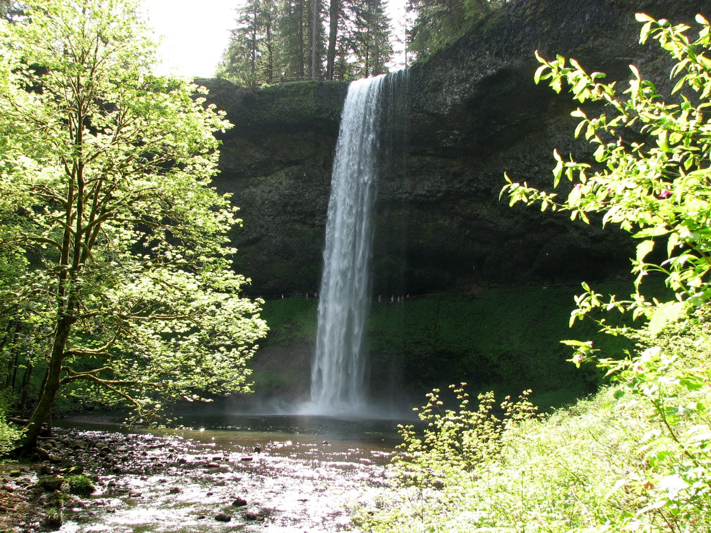
The first waterfall we came to is called South Falls. I was impressed. I’ve seen many waterfalls in several different states (Utah, California, Oregon, Hawaii) and this was by far the best. I figured this must be the most impressive of the ten falls at this park given that you could walk behind it, every angle of the falls was an amazing view, and the falls plunge the not-too-shabby distance of almost 200 feet.

Here is the view from behind South Falls:

If you look closely at this next picture you can get an idea of how impressive these falls were. Those little tiny things about a third of the way up behind the falls are people.
The trail, even when there weren’t falls in view, was beautiful. I highly recommend, that if you visit this state park, you do so in the morning. There was virtually no one else there, and the sun hitting everything at an angle, rather than from directly overhead, was spectacular.

As I mentioned above, I figured South Falls must be the highlight of the hike. I couldn’t believe it when Lower South Falls came into view a mile later, and I was even more impressed.

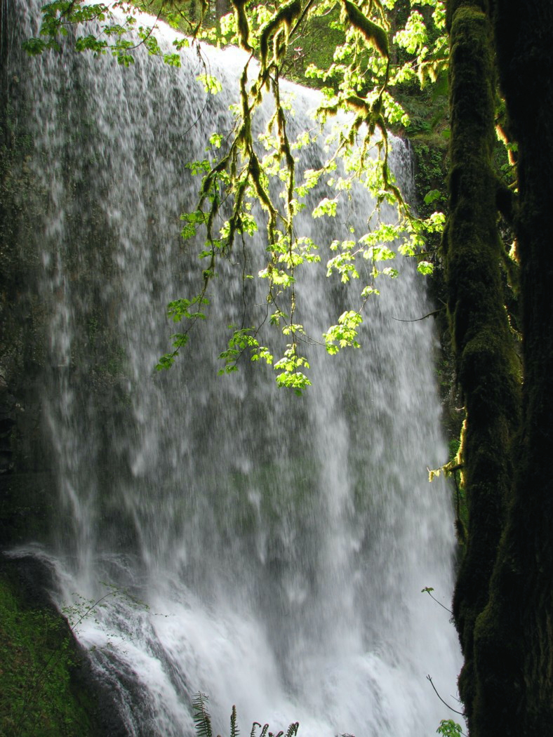
While Lower South Falls doesn’t have the vertical drop of South Falls, you still get to walk behind the falls. This waterfall had a certain elegance I have never before experienced. You will also get more wet behind this one.

The mossy trees and intense shades of green made for an awesome view.
Silver Falls State Park is a little over an hour from Portland, Oregon and about 9 hours from the San Francisco Bay Area. Needless to say, I highly recommend it. I’m looking forward to going back and visiting all 10 of the falls next time.
Remember that you can click on any of the images to see a much larger version. Enjoy!
Posted on May 18th, 2008 under Oregon. Tags: hiking, nature, Oregon, pictures, Salem, Silver Falls, waterfalls. Comments Off on Silver Falls State Park