Ashland Watershed
Toothpick Trail in the Ashland Watershed (January 2020)

| The above will search Ashland Daily Photo. |
Toothpick Trail in the Ashland Watershed (January 2020)

Elias Lawson and Aaron Bailey
It’s always fun to shoot something new. Such was the case when I drove up to Grants Pass last weekend to take photos of cyclocross for the first time. The rain was coming down pretty heavily when I got there, which is good for different photography but not so good for my comfort and equipment. However, the rain mostly stopped during the race.
P.S. Going forward, SOU cycling photos will be here and my other biking photos will be here.

Mt. Ashland and Bear Creek from the greenway
I took a ride on the Bear Creek Greenway yesterday and discovered this view. I’ve ridden (or, less frequently, walked) the greenway dozens of times over the past 20 years, maybe over a hundred. But I’ve never noticed this view before. Was it always there and I just missed it? Or did last September’s Almeda Fire allow it to be seen? I don’t know, but I’m glad to have finally found it.

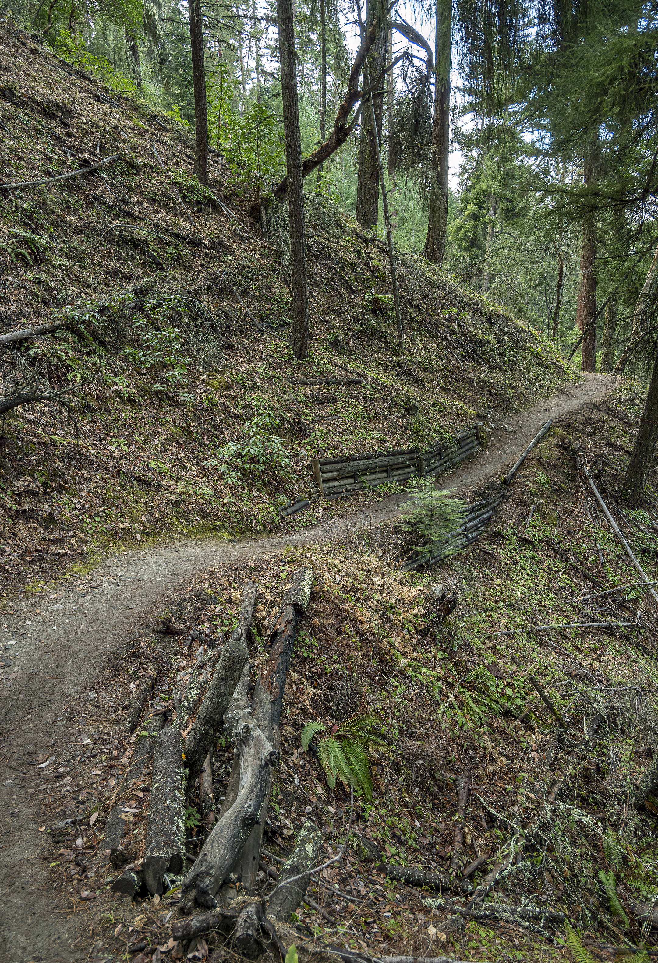
Toothpick Trail (Ashland Watershed)
Toothpick Trail is my go-to trail when I have a spare hour. I probably ride it about once a week from April until November and then drop down to once or twice a month when it gets cold. Mid-October until about now is my favorite time of the year as the temperatures and colors are just right.
West Fork Ashland Creek from Road 2060 (Ashland Loop Road)
I went on a 26 mile ride this morning, doing the Ashland Loop Road in its entirety for the first time in over 15 years.

Coming down the Hitt Road Trail into Lithia Park

Or is it Ashland Ponds? This place is Ashland Ponds on Google Maps, but there is only one pond here.
I had never heard of, or happened on, this place after nearly 20 years in Ashland. And I get around, but somehow Ashland Pond never made it onto my radar. We were heading out to do a ride/run on the Bear Creek Greenway, like we have a million times before, when I saw this on Google Maps with what appeared to be a trail around it so we investigated. Lovely spot with no people and lots of wildlife. We saw numerous birds, ducks, and turtles. Upon further research it appears that you may encounter a family of river otters in this place as well.
You can’t get here from the Bear Creek Greenway (as far as I can tell). Instead, head to the end of Glendower Street, through the gap in the barrier, and go down and to the left.

@CraterLakeNPS
I once tried to ride around Crater Lake on my bike. It didn’t go well.
Fast forward many years to yesterday. I heard they were closing the road to vehicles on two Saturdays this year. Maybe this has happened in recent years as well. In any event, I did it!
Anyway, let me share a few observations for those of you doing it on September 21, 2019 or in future years…
Get there early! Before 8 is good; before 7 is even better. When I left Crater Lake for home at 11 something after finishing my ride the car traffic was crazy. People were circling forever and not finding places to park their cars. In addition, the roads may not have cars on them, but do you really want to ride around the lake when the roads are crammed with bikes? The ride was very pleasant, congestion wise, between 7 and 9. Things got a little crowded after that and seemed to be getting very crowded about the time I finished. Besides the crowd size issue, the lake looks fairly different between 7 and 11 a.m. with the sunrise but not so different between, say, 9 a.m. and 1 p.m.
Bring gloves and a face shield. The shield will help with the temperature and wind chill–especially before 9 a.m.–and it will also keep the bugs from entering your mouth and nose at 20+ MPH.
There is plenty of water at the five rest stations so you don’t need to carry too much. I brought three bottles which was two too many.
The ride is over 33 miles (not including Cloudcap) and includes a ton of elevation. Basically, there are no flat spots. You are either climbing or coasting downhill. Therefore, you will want to do some training to make sure you can ride uphill for at least 15 miles.
Cloudcap viewpoint adds an extra mile or two and is a big climb. Feel free to skip it unless you want the extra workout. I did it only because I didn’t realize I could skip it, and the bikes in front of me were heading that way.
You can go in either direction. West Rim Drive (not closed to autos) is best done early, IMO, before the car traffic arrives so if you park at the lodge or visitor’s center a clockwise direction is advised.
I would love to do this again, earlier in the year, when there is still some snow on things. It would be nice if they closed the roads to autos as soon as they open the East Rim Drive some year. I suppose a flexible date, based on the weather, would make planning more difficult though.

I’m in Korea for 4th of July celebrations (or lack thereof) this year. (At least I hope I am. I’m actually pre-blogging this week on Memorial Day back in late May.) So I have put together a week of photos from last year’s 4th of July festivities in Ashland. We’ll start things off with a pic of Tyler Hawkins riding a funky bike in the Ashland 4th of July Parade.

Yesterday afternoon while taking my daily bike ride I couldn’t help but notice the thousands of tents being set up on the Iowa Street softball fields. I decided to go back last night to see what Cycle Oregon’s visit to Ashland would look like under the stars.
Copyright © 2024 Ashland Daily Photo - All Rights Reserved
|
Photos processed with Topaz DeNoise |