Ashland Daily Photo
Ashland Daily Photo - A picture a day from beautiful Ashland, Southern Oregon USA in the Rogue Valley
The above will search Ashland Daily Photo.


Archive for nature

Big Bear Lake in the Trinity Alps

bear lake panorama photomerge

Big Bear Lake in the Trinity Alps (California)

The hike to Big Bear Lake is not easy at about 10 miles round trip and 3,000 feet of elevation gain, but this is one of the more gorgeous lakes in the Trinity Alps. The drive from Ashland is about two hours to the trailhead.

Ranch time

Beatty, Oregon

My random, desktop image of the day is from a few years ago. We are headed to Beatty this weekend. It will be nice to get a break from Trump’s dexamethasone side effects.

Bandon, Oregon eight and a half years ago

Bandon, Oregon

Wild & Scenic Rogue River

Wild & Scenic Rogue River

#mynwrcphoto @NWRafting

Five summers ago we rafted the Rogue River from Galice to Agness (and somewhere along the way today’s photo was taken). A year or two before that we did Grants Pass to Galice. This year we did Trail to Grants Pass, with plans to do the last section between Grants Pass and Galice canceled by the Almeda fire.

Almeda Fire

Almeda Fire

#AlmedaFire #GlendowerFire #OregonFires

Today’s photo comes from Ashland Pond, looking west, less than 48 hours after the Almeda Fire began a couple hundred feet behind this location. The fire headed northwest, blown by strong winds, from here and destroyed much of Talent and Phoenix in the subsequent 16 hours or so.

Ashland Pond after the Almeda Fire

Ashland Pond (September 10, 2020)

#AlmedaFire #GlendowerFire #OregonFires

One of my favorite places to visit in town is located close to the origin of the horrific Almeda Fire that began on September 8, 2020 and razed over 600 homes, mostly in Phoenix and Talent, Oregon.

I rode my bike down Almeda Drive and Glendower Street today, like many times before, but everything is different. The homes are all still there, and there doesn’t appear to be any damage to the structures, but the fields nearby are a wasteland coated in inches of ash.

Here is a photo of Ashland Pond from less than five months ago.

Alder Springs Trail

Alder Springs Trail (Central Oregon)

Today’s photo comes from a hike we did this past Labor Day Weekend. We were in Bend. This trail was great, although getting there was not easy. Not recommended on a hot day or if you don’t have 4-wheel drive. Follow directions on the internet, not Google maps for finding the trail head. Google will send you down the wrong road and cost you at least an extra half an hour. Even when we got on the correct road, Google sent us down a couple of dead ends.

Back to why I’m sharing this photo… Ashland is on fire at the moment (later note: Almeda Fire as it came to be known), and this photo has a bit of that feel to it.

Mt. Shasta from the MFR to SFO run

Aerial view of Mt. Shasta (June 2011)

West Fork Ashland Creek

West Fork Ashland Creek from Road 2060 (Ashland Loop Road)

I went on a 26 mile ride this morning, doing the Ashland Loop Road in its entirety for the first time in over 15 years.

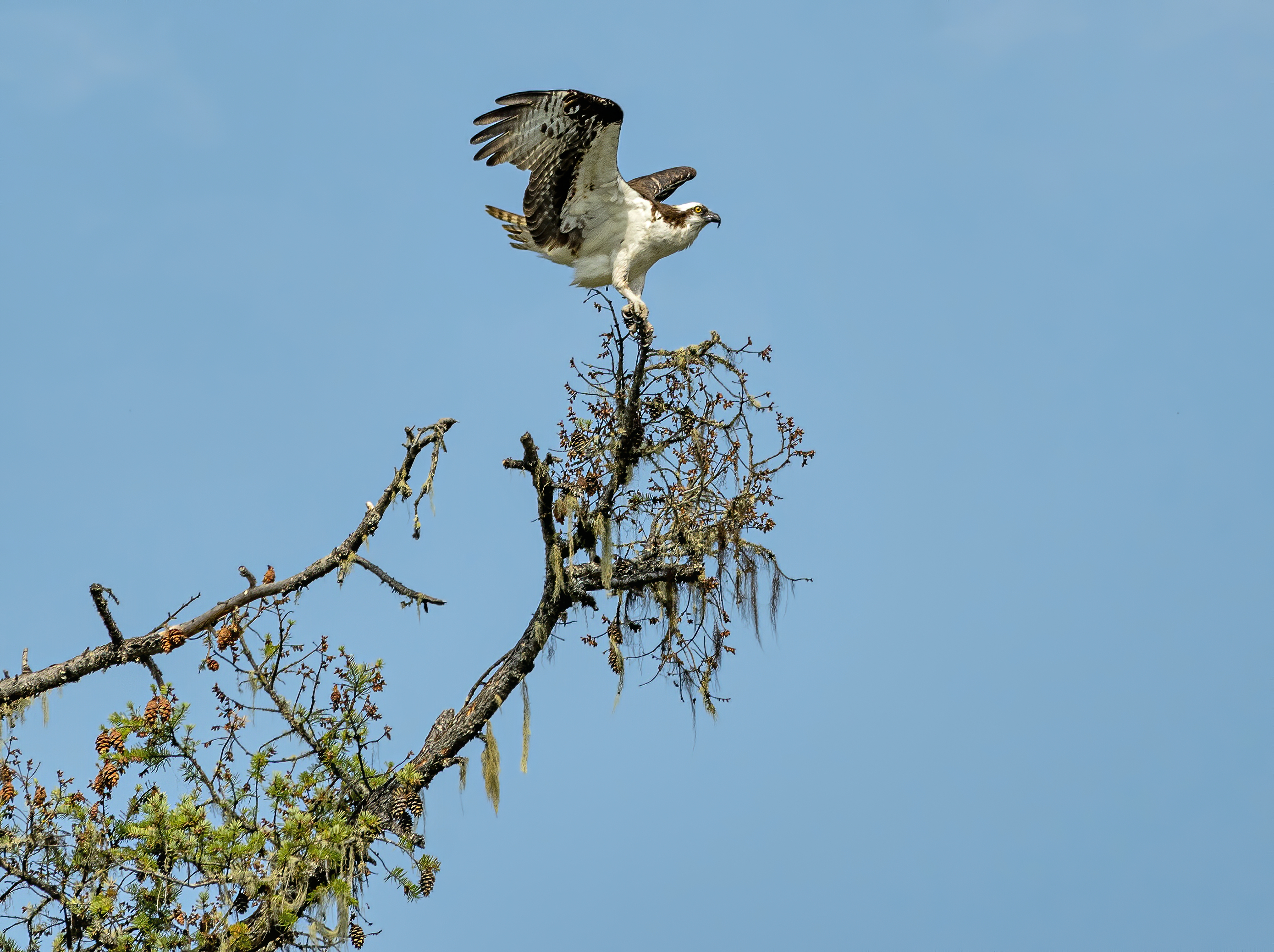
Osprey on the Rogue

osprey rogue river oregon

Osprey on the Rogue River near Shady Cove