Lake Cushman

Lake Cushman, Washington
|
The above will search Traveljapanblog.com. Concerts - Landscapes - Sports |
Lake Cushman, Washington

View from Hurricane Hill Trail
After four days of hiking around and exploring Olympic National Park, for the first time, today we are heading home. On the way home, we plan to do one last trail on the east side of the park. Today’s photo is from yesterday. Mount Olympus is on the right side of the Olympic Mountains in the above photo.
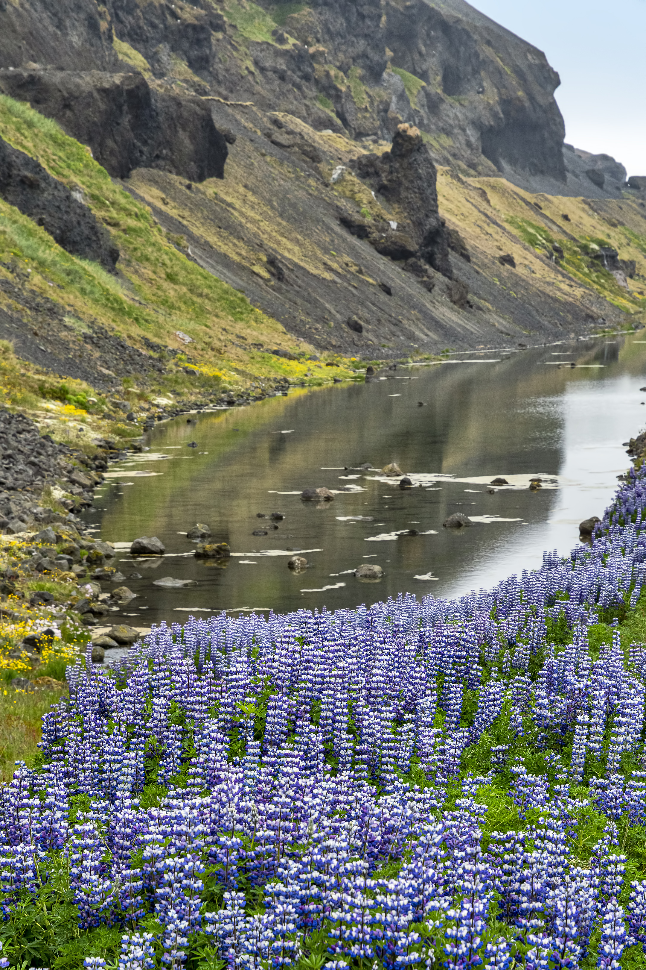
Along the road on the Snæfellsnes Peninsula (Iceland, June 2019)
When I parked to photograph these beauties I also had the above view on the other side of the road.
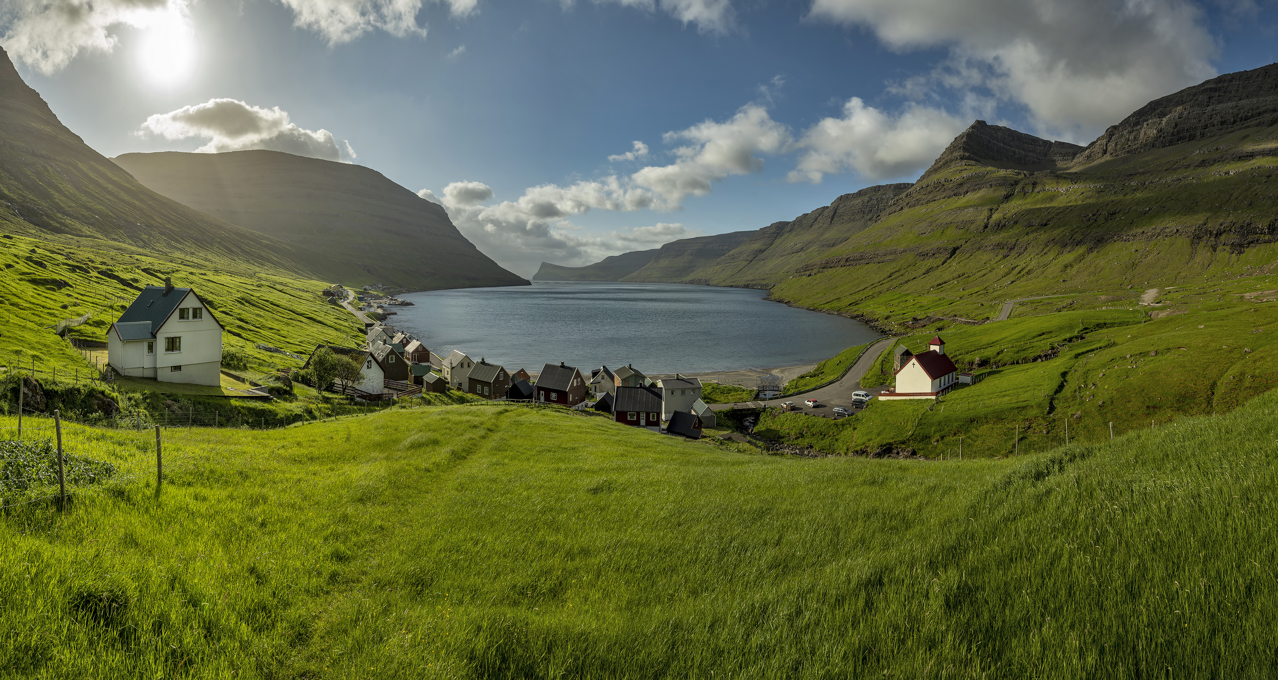
7-photo photomerged panorama of Árnafjørður in the Faroe Islands
I didn’t see another human during the half hour or so that I wandered around the town of Árnafjørður.
My camper van was supposed to have internet. It did not. My phone was supposed to have internet. It did not. (Orange sucks BTW. Advertised as working in the Faroe Islands, Scotland, and the Czech Republic, it didn’t work at all in the Faroe Islands or Scotland and barely worked–at super slow speeds and only sometimes–in the Czech Republic.) I was supposed to be going to a festival in the Faroe Islands. It was canceled. So I had a lot of extra time in the Faroe Islands but no way to know what to do with it. I didn’t have a guidebook. All I had was Google maps.
I drove to every place I could see on Google maps, but since I didn’t have internet, I didn’t know what would be there when I arrived or what to do in these towns. However, the Faroe Islands provided a solution. In every town, there is a really cool map/town overview sign which I would read before exploring. An example of one of these can be seen in the Árnafjørður sign below.

Árnafjørður town map
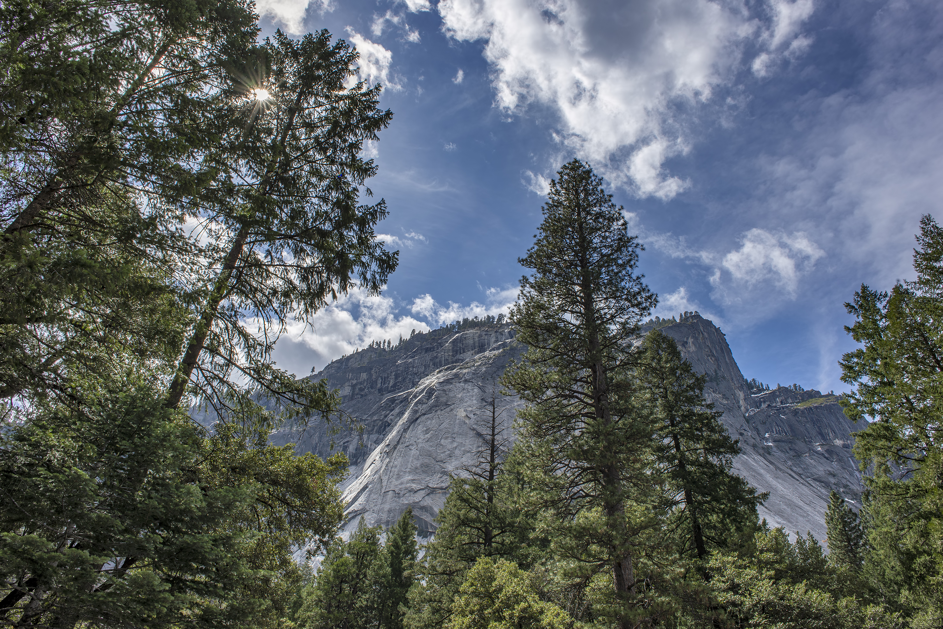
Yosemite (March 2013)

Shaw’s Cove (December 2019)